File:Map-seri-rambai.png
Jump to navigation
Jump to search

Size of this preview: 610 × 600 pixels. Other resolutions: 244 × 240 pixels | 488 × 480 pixels | 994 × 977 pixels.
Original file (994 × 977 pixels, file size: 651 KB, MIME type: image/png)
Captions
Captions
Add a one-line explanation of what this file represents
Summary
[edit]
| Description |
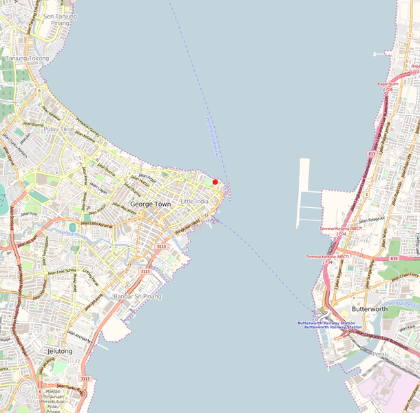
English: Map with red dot showing location of Seri Rambai cannon at Fort Cornwallis, George Town, Penang |
| Date | |
| Source | http://www.openstreetmap.org/#map=14/5.4208/100.3407 |
| Author | Open Data |
Licensing
[edit]
This file is licensed under the Creative Commons Attribution-Share Alike 2.5 Generic license.
- You are free:
- to share – to copy, distribute and transmit the work
- to remix – to adapt the work
- Under the following conditions:
- attribution – You must give appropriate credit, provide a link to the license, and indicate if changes were made. You may do so in any reasonable manner, but not in any way that suggests the licensor endorses you or your use.
- share alike – If you remix, transform, or build upon the material, you must distribute your contributions under the same or compatible license as the original.
File history
Click on a date/time to view the file as it appeared at that time.
| Date/Time | Thumbnail | Dimensions | User | Comment | |
|---|---|---|---|---|---|
| current | 21:58, 4 April 2016 | | 994 × 977 (651 KB) | Singora (talk | contribs) | Altered contrast |
| 15:13, 2 April 2016 |  | 994 × 977 (668 KB) | Singora (talk | contribs) | User created page with UploadWizard |
You cannot overwrite this file.
File usage on Commons
There are no pages that use this file.