File:Map-WR-Bavaria.svg

Original file (SVG file, nominally 1,185 × 1,007 pixels, file size: 541 KB)
Captions
Captions
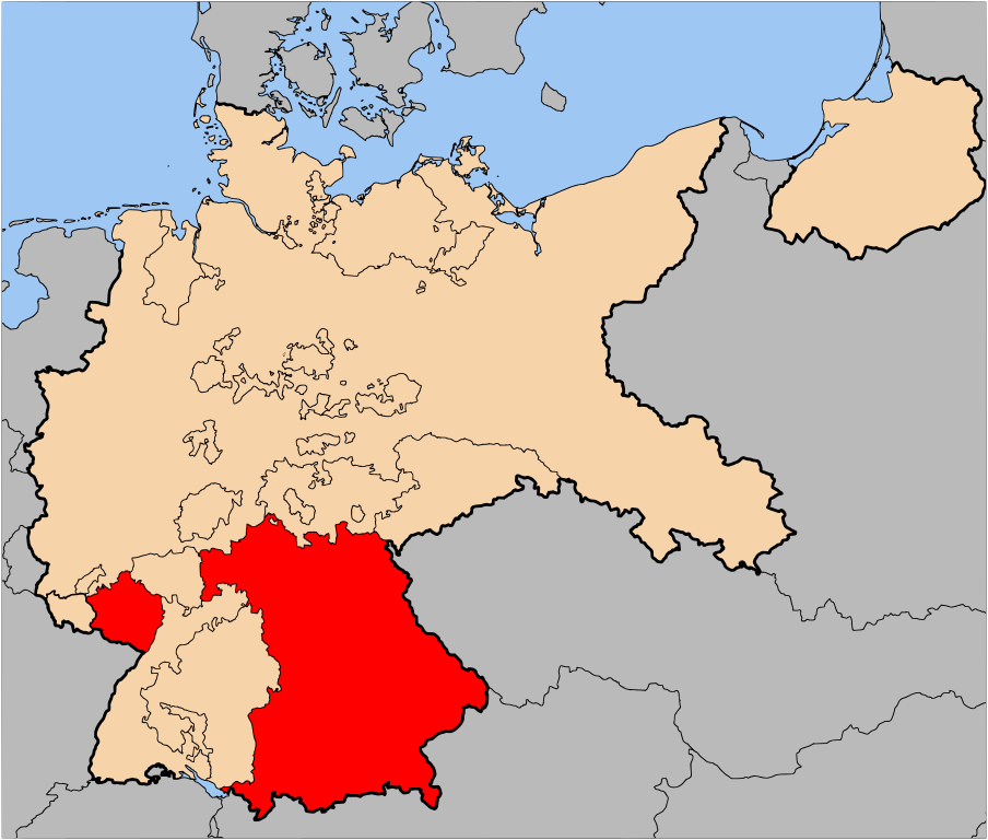
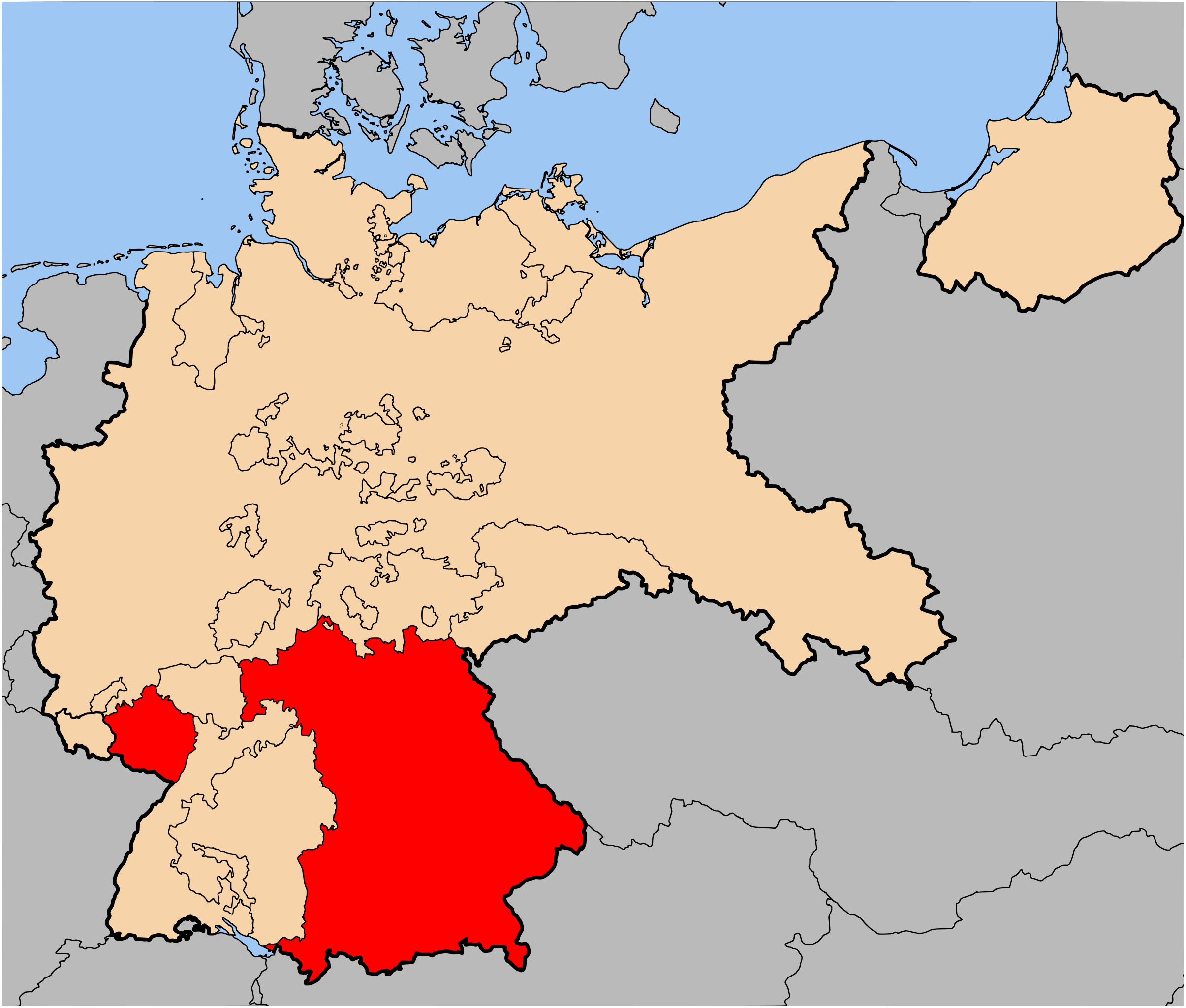
| Description | The Free State of Bavaria (Freistaat Bayern) within Germany at the time of the Weimar Republic | |||||||||||||
| Date | ||||||||||||||
| Source | Based on map data of the IEG-Maps project (Andreas Kunz, B. Johnen and Joachim Robert Moeschl: University of Mainz) - http://www.ieg-maps.uni-mainz.de | |||||||||||||
| Author | User:52 Pickup | |||||||||||||
| Permission (Reusing this file) |
This file is licensed under the Creative Commons Attribution-Share Alike 2.5 Generic license.
|

File history
Click on a date/time to view the file as it appeared at that time.
| Date/Time | Thumbnail | Dimensions | User | Comment | |
|---|---|---|---|---|---|
| current | 07:15, 2 July 2007 | | 1,185 × 1,007 (541 KB) | 52 Pickup (talk | contribs) | {{Information| |Description= The Free State of Bavaria (Freistaat Bayern) within Germany at the time of the Weimar Republic |Source= Based on map data of the IEG-Maps project (Andreas Kunz, B. Johnen |
You cannot overwrite this file.
File usage on Commons
There are no pages that use this file.
File usage on other wikis
The following other wikis use this file:
- Usage on ar.wikipedia.org
- Usage on bn.wikipedia.org
- Usage on cs.wikipedia.org
- Usage on da.wikipedia.org
- Usage on de.wikipedia.org
- Usage on en.wikipedia.org
- Usage on en.wiktionary.org
- Usage on et.wikipedia.org
- Usage on fa.wikipedia.org
- Usage on fi.wikipedia.org
- Usage on he.wikipedia.org
- Usage on it.wikipedia.org
- Usage on ja.wikipedia.org
- Usage on lv.wikipedia.org
- Usage on mk.wikipedia.org
- Usage on pl.wikipedia.org
- Usage on ru.wikipedia.org
- Usage on simple.wikipedia.org
- Usage on sq.wikipedia.org
- Usage on www.wikidata.org
- Usage on zh.wikipedia.org