File:Map-RB-1812-Grand Duchy of Berg.svg

Original file (SVG file, nominally 698 × 999 pixels, file size: 796 KB)
Captions
Captions
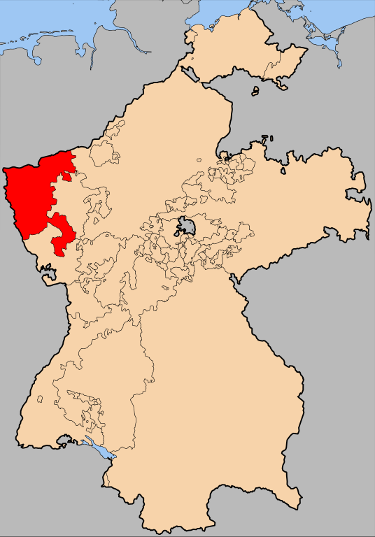
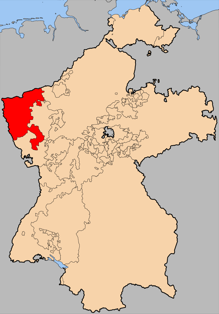
| Description | The Grand Duchy of Berg within Germany at the time of the en:Confederation of the Rhine | |||||||||||
| Date | ||||||||||||
| Source | en:Image:Map-RB-Frankfurt.svg by User:52 Pickup, not uploaded to commons. | |||||||||||
| Author | User:52 Pickup, User:Sir Iain | |||||||||||
| Permission (Reusing this file) |
This file is licensed under the Creative Commons Attribution-Share Alike 2.5 Generic license.
|

File history
Click on a date/time to view the file as it appeared at that time.
| Date/Time | Thumbnail | Dimensions | User | Comment | |
|---|---|---|---|---|---|
| current | 18:55, 20 April 2008 | | 698 × 999 (796 KB) | Sir Iain (talk | contribs) | {{Information| |Description= The Grand Duchy of Berg within Germany at the time of the en:Confederation of the Rhine |Source=en:Image:Map-RB-Frankfurt.svg by User:52 Pickup, not uploaded to commons. |Date= 20-04-2008 |A |
You cannot overwrite this file.
File usage on Commons
The following page uses this file:
File usage on other wikis
The following other wikis use this file:
- Usage on ar.wikipedia.org
- Usage on bg.wikipedia.org
- Usage on ca.wikipedia.org
- Usage on cs.wikipedia.org
- Usage on el.wikipedia.org
- Usage on es.wikipedia.org
- Usage on fr.wikipedia.org
- Usage on gd.wikipedia.org
- Usage on nl.wikipedia.org
- Usage on pl.wikipedia.org
- Usage on ro.wikipedia.org
- Usage on ru.wikipedia.org
- Usage on uk.wikipedia.org
- Usage on www.wikidata.org
- Usage on zh.wikipedia.org