File:Mals, Province of Bolzano - South Tyrol, Italy - panoramio (1).jpg
Jump to navigation
Jump to search

Size of this preview: 450 × 600 pixels. Other resolutions: 180 × 240 pixels | 360 × 480 pixels | 576 × 768 pixels | 768 × 1,024 pixels | 1,536 × 2,048 pixels.
Original file (1,536 × 2,048 pixels, file size: 366 KB, MIME type: image/jpeg)
Captions
Captions
Add a one-line explanation of what this file represents
Summary
[edit].jpg&action=edit§ion=1)
| Description |
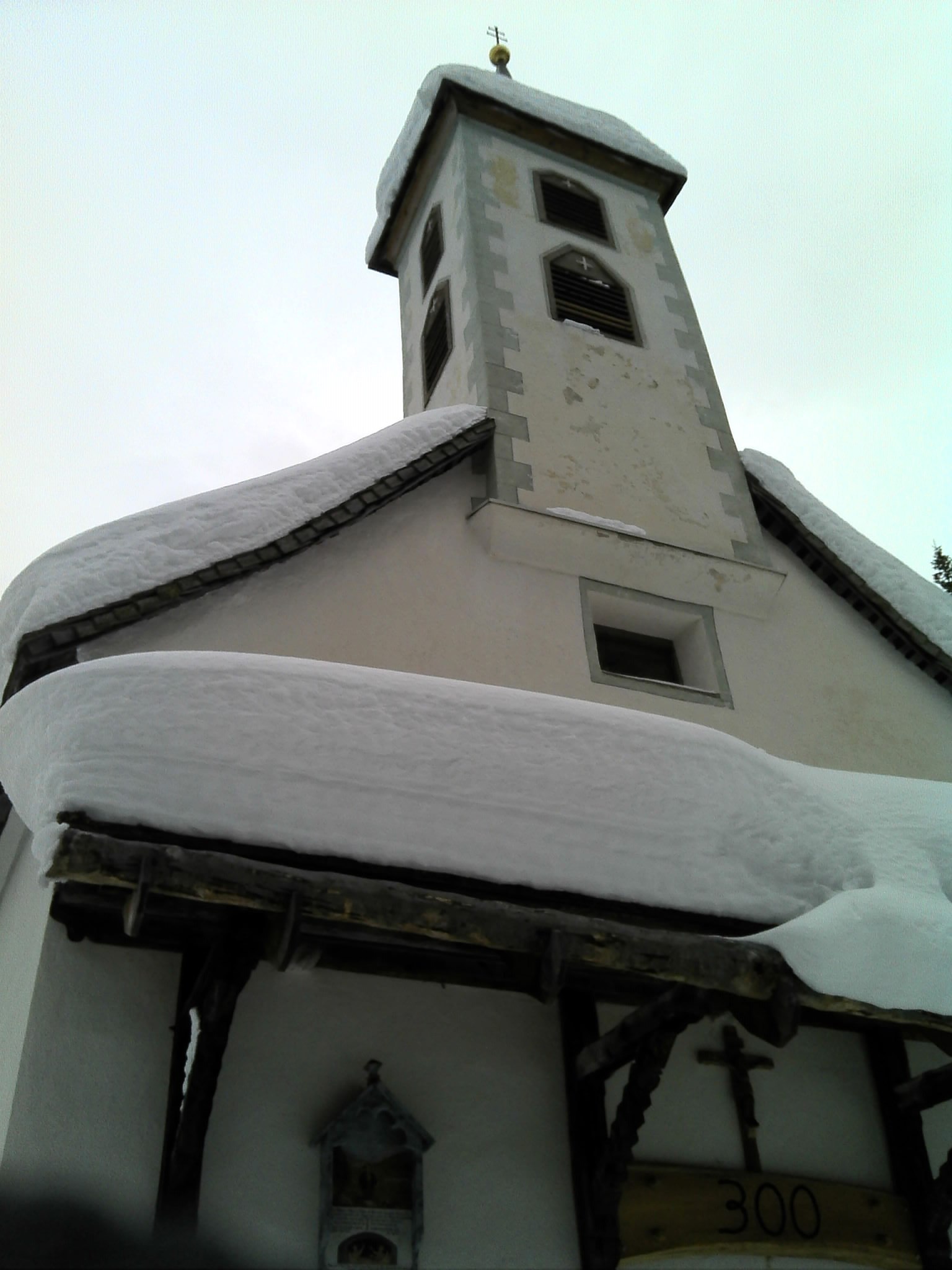
St. Martin in Zerz, Mals, Province of Bolzano - South Tyrol, Italy
|
||
| Date | Taken on 13 February 2014 | ||
| Source | https://web.archive.org/web/20161029104308/http://www.panoramio.com/photo/103156624 | ||
| Author | wandersuechtig.de | ||
| Permission (Reusing this file) |
This file is licensed under the Creative Commons Attribution-Share Alike 3.0 Unported license. Attribution: wandersuechtig.de
|
||
| Tags (from Panoramio photo page) | Mals |
| Object location | | View this and other nearby images on: OpenStreetMap |
|---|
.jpg¶ms=046.749826_N_0010.521128_E_globe:Earth_class:object_type:object_region:IT-BZ_&language=en)
File history
Click on a date/time to view the file as it appeared at that time.
| Date/Time | Thumbnail | Dimensions | User | Comment | |
|---|---|---|---|---|---|
| current | 12:40, 21 March 2017 | | 1,536 × 2,048 (366 KB) | Panoramio upload bot (talk | contribs) | == {{int:filedesc}} == {{Information |description=Mals, Province of Bolzano - South Tyrol, Italy |date={{Taken on|2014-02-13}} |source=http://www.panoramio.com/photo/103156624 |author=[http://www.panoramio.com/user/8166056?with_photo_id=103156624 wande... |
You cannot overwrite this file.
File usage on Commons
The following page uses this file:
.jpg&oldid=558670198)