File:Mallauer Stativ m.jpg
Jump to navigation
Jump to search

Size of this preview: 458 × 599 pixels. Other resolutions: 183 × 240 pixels | 367 × 480 pixels | 587 × 768 pixels | 783 × 1,024 pixels | 2,496 × 3,264 pixels.
Original file (2,496 × 3,264 pixels, file size: 507 KB, MIME type: image/jpeg)
Captions
Captions
Add a one-line explanation of what this file represents
Summary
[edit]
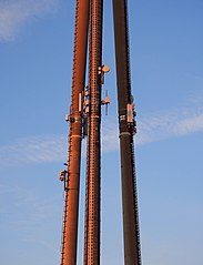
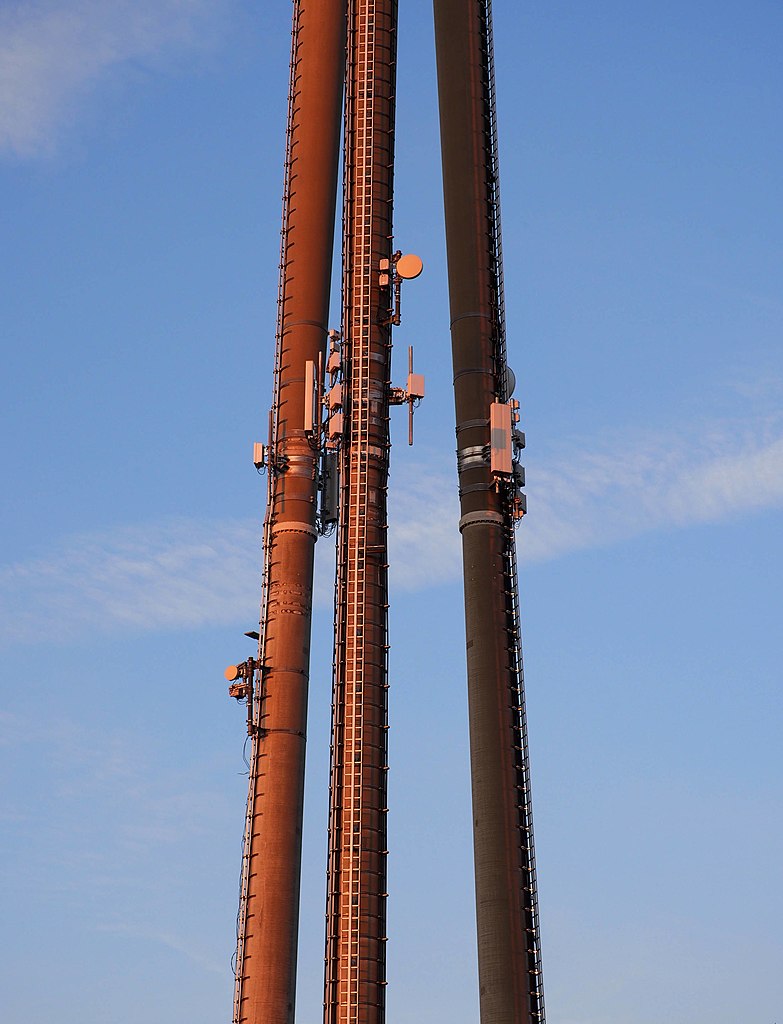
| Description | Mallauer Stativ, Antennen auf halber Höhe |
| Date | |
| Source | Own work |
| Author | Ikar.us |
| Other versions |
 |
| Object location | | View this and other nearby images on: OpenStreetMap |
|---|
I, the copyright holder of this work, hereby publish it under the following license:
This file is licensed under the Creative Commons Attribution 3.0 Germany license.
- You are free:
- to share – to copy, distribute and transmit the work
- to remix – to adapt the work
- Under the following conditions:
- attribution – You must give appropriate credit, provide a link to the license, and indicate if changes were made. You may do so in any reasonable manner, but not in any way that suggests the licensor endorses you or your use.

File history
Click on a date/time to view the file as it appeared at that time.
| Date/Time | Thumbnail | Dimensions | User | Comment | |
|---|---|---|---|---|---|
| current | 19:55, 26 June 2022 | | 2,496 × 3,264 (507 KB) | Ikar.us (talk | contribs) | reprocessed |
| 15:52, 26 June 2022 |  | 1,920 × 2,640 (309 KB) | Ikar.us (talk | contribs) | {{Information |Description=Mallauer Stativ, Antennen auf halber Höhe |Source={{own}} |Date=2022-05 |Author=Ikar.us |other_versions=thumb|left }}{{Object location|49.453263|8.518913}} Category:Towers in Mannheim Category:Antenna towers and masts in Baden-Württemberg Category:Mobile phone base stations in Germany |
You cannot overwrite this file.
File usage on Commons
The following 2 pages use this file:
File usage on other wikis
The following other wikis use this file:
- Usage on de.wikipedia.org