File:Makai Gate.jpg
Jump to navigation
Jump to search

Size of this preview: 450 × 600 pixels. Other resolutions: 180 × 240 pixels | 360 × 480 pixels | 576 × 768 pixels | 768 × 1,024 pixels | 1,536 × 2,048 pixels | 2,988 × 3,984 pixels.
Original file (2,988 × 3,984 pixels, file size: 2.46 MB, MIME type: image/jpeg)
Captions
Captions
Add a one-line explanation of what this file represents
Summary
[edit]
| Description |
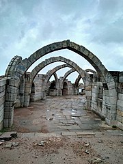
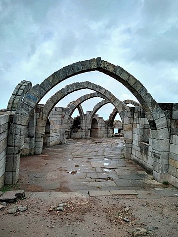
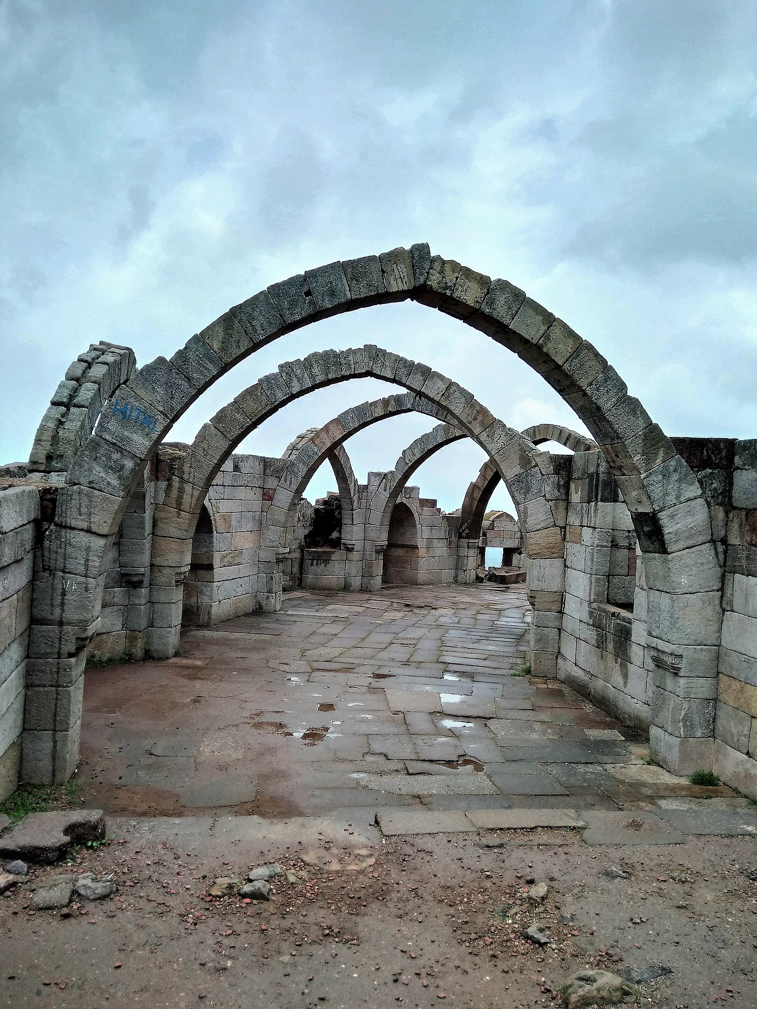
English: These are ancient archways on the way to Makai Kothar or Saat Kothar. These must have been a part of the fort and the outlying walls as the first line of defense. A little way down this path, one also gets to see a turret post which must have housed a cannon at some point of time, unfortunately, the place has now fallen into ruin due to governmental negligence.
|
||||
| Date | |||||
| Source | Own work | ||||
| Author | KrushnaJadhav94 |
Licensing
[edit]
I, the copyright holder of this work, hereby publish it under the following license:
This file is licensed under the Creative Commons Attribution-Share Alike 4.0 International license.
- You are free:
- to share – to copy, distribute and transmit the work
- to remix – to adapt the work
- Under the following conditions:
- attribution – You must give appropriate credit, provide a link to the license, and indicate if changes were made. You may do so in any reasonable manner, but not in any way that suggests the licensor endorses you or your use.
- share alike – If you remix, transform, or build upon the material, you must distribute your contributions under the same or compatible license as the original.

|
This image was uploaded as part of Wiki Loves Monuments 2020.
|
 |
File history
Click on a date/time to view the file as it appeared at that time.
| Date/Time | Thumbnail | Dimensions | User | Comment | |
|---|---|---|---|---|---|
| current | 17:22, 13 September 2020 | | 2,988 × 3,984 (2.46 MB) | KrushnaJadhav94 (talk | contribs) | Uploaded own work with UploadWizard |
You cannot overwrite this file.
File usage on Commons
There are no pages that use this file.