File:Maisie Williams-2013 (cropped).jpg
Jump to navigation
Jump to search

Size of this preview: 414 × 599 pixels. Other resolutions: 166 × 240 pixels | 332 × 480 pixels | 531 × 768 pixels | 708 × 1,024 pixels | 1,416 × 2,048 pixels | 2,595 × 3,752 pixels.
Original file (2,595 × 3,752 pixels, file size: 1.55 MB, MIME type: image/jpeg)
Captions
Captions
Add a one-line explanation of what this file represents
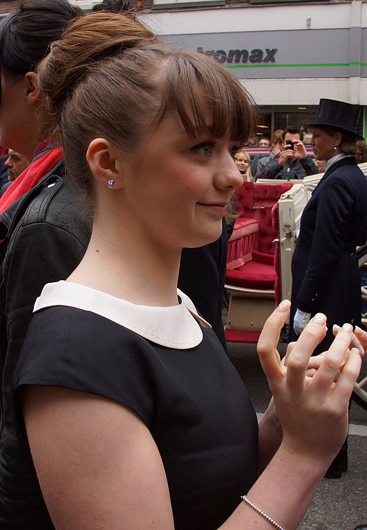
| Description | Maisie Williams, 2013 | ||
| Date | |||
| Source | Flickr: DSC03700 | ||
| Author | Floris Looijesteijn | ||
| Permission (Reusing this file) |
This file is licensed under the Creative Commons Attribution 2.0 Generic license.
|
| Camera location | | View this and other nearby images on: OpenStreetMap |
|---|

.jpg¶ms=052.380940_N_0004.890091_E_globe:Earth_type:camera_alt:-2.62_source:exif_&language=en)
File history
Click on a date/time to view the file as it appeared at that time.
| Date/Time | Thumbnail | Dimensions | User | Comment | |
|---|---|---|---|---|---|
| current | 16:59, 29 July 2014 | | 2,595 × 3,752 (1.55 MB) | Lady Lotus (talk | contribs) | Cropped version of File:Maisie Williams-2013.jpg using CropTool. |
You cannot overwrite this file.
File usage on Commons
There are no pages that use this file.
.jpg&oldid=765951805)