File:MacNichol Site from River Road.jpg
Jump to navigation
Jump to search

Size of this preview: 800 × 450 pixels. Other resolutions: 320 × 180 pixels | 640 × 360 pixels | 1,024 × 576 pixels | 1,280 × 720 pixels | 2,816 × 1,584 pixels.
Original file (2,816 × 1,584 pixels, file size: 1.13 MB, MIME type: image/jpeg)
Captions
Captions
Add a one-line explanation of what this file represents
|
This is an image of a place or building that is listed on the National Register of Historic Places in the United States of America. Its reference number is 78002215. |
| Camera location | | View this and other nearby images on: OpenStreetMap |
|---|
| Description |
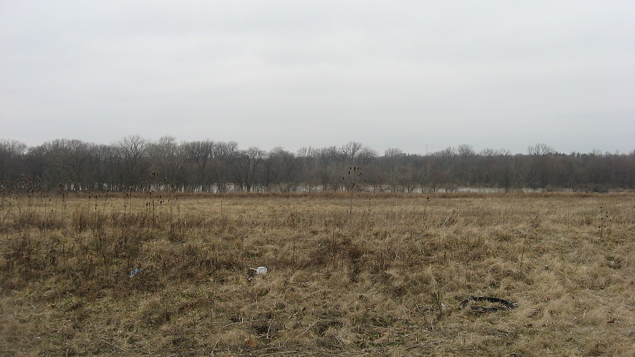
English: Fields on the northern side of River Road (State Route 65) across from the Riverford Drive intersection southwest of Perrysburg in Perrysburg Township, Wood County, Ohio, United States. On the far side of the field, near the riverside, is the MacNichol Site, an archaeological site that is listed on the National Register of Historic Places. |
||
| Date | Taken on 12 March 2013 | ||
| Source | Own work | ||
| Author | Nyttend | ||
| Permission (Reusing this file) |
|
File history
Click on a date/time to view the file as it appeared at that time.
| Date/Time | Thumbnail | Dimensions | User | Comment | |
|---|---|---|---|---|---|
| current | 14:14, 20 March 2013 | | 2,816 × 1,584 (1.13 MB) | Nyttend (talk | contribs) | {{NRHP|78002215}} {{Location|41|32|45|N|83|39|58|W}} {{Information |Description={{en|Fields on the northern side of River Road ({{w|Ohio State Route 65|State Route 65}}) across from the Riverford Drive intersection southwest of {{w|Perrysburg, Ohio|Per... |
You cannot overwrite this file.
File usage on Commons
There are no pages that use this file.
File usage on other wikis
The following other wikis use this file:
- Usage on en.wikipedia.org