File:Mabie Forest - Descender Bender - geograph.org.uk - 892052.jpg
Jump to navigation
Jump to search
No higher resolution available.
Mabie_Forest_-_Descender_Bender_-_geograph.org.uk_-_892052.jpg (640 × 480 pixels, file size: 277 KB, MIME type: image/jpeg)
Captions
Captions
Add a one-line explanation of what this file represents
Summary
[edit]
| Description |
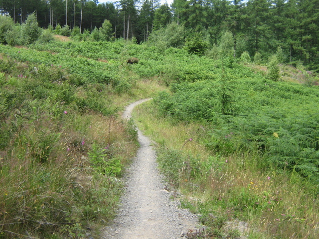
English: Mabie Forest - Descender Bender Part of the Red Cycle Trail in Mabie Forest known as the Descender Bender the track is probably the most exciting part of the trail with fast sweeping downhill singletrack with loads of beams,burn splashes and a few camel bumps. |
| Date | |
| Source | From geograph.org.uk |
| Author | Andy Connor |
| Attribution (required by the license) | Andy Connor / Mabie Forest - Descender Bender / |
| Camera location | | View this and other nearby images on: OpenStreetMap |
|---|
_heading:0.00&language=en)
| Object location | | View this and other nearby images on: OpenStreetMap |
|---|
_heading:0.00&language=en)
Licensing
[edit]

|
This image was taken from the Geograph project collection. See this photograph's page on the Geograph website for the photographer's contact details. The copyright on this image is owned by Andy Connor and is licensed for reuse under the Creative Commons Attribution-ShareAlike 2.0 license.
|
This file is licensed under the Creative Commons Attribution-Share Alike 2.0 Generic license.
Attribution: Andy Connor
- You are free:
- to share – to copy, distribute and transmit the work
- to remix – to adapt the work
- Under the following conditions:
- attribution – You must give appropriate credit, provide a link to the license, and indicate if changes were made. You may do so in any reasonable manner, but not in any way that suggests the licensor endorses you or your use.
- share alike – If you remix, transform, or build upon the material, you must distribute your contributions under the same or compatible license as the original.
File history
Click on a date/time to view the file as it appeared at that time.
| Date/Time | Thumbnail | Dimensions | User | Comment | |
|---|---|---|---|---|---|
| current | 16:30, 21 February 2011 | | 640 × 480 (277 KB) | GeographBot (talk | contribs) | == {{int:filedesc}} == {{Information |description={{en|1=Mabie Forest - Descender Bender Part of the Red Cycle Trail in Mabie Forest known as the ''Descender Bender'' the track is probably the most exciting part of the trail with fast sweeping downhill si |
You cannot overwrite this file.
File usage on Commons
There are no pages that use this file.