File:Maats Alma to Ramot Naftali.jpg

Original file (2,147 × 1,892 pixels, file size: 927 KB, MIME type: image/jpeg)
Captions
Captions
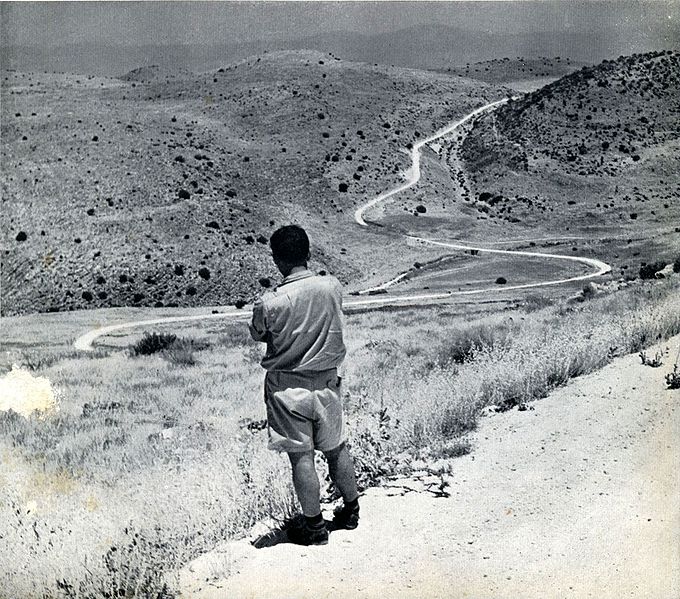
| Description | כביש עין זיתים - עלמה - רמות נפתלי. אורכו 22.5 ק"מ. קטע עלמה - רמות נפתלי באורך 11 ק"מ נסלל בשנת 1953 | |||
| Date | to 1958 | |||
| Source | The Ten-Year Anniversary Book of the Israeli Department of Public Works | |||
| Author | photographers unknown, PD in Israel after 50 years. | |||
| Permission (Reusing this file) |
|

File history
Click on a date/time to view the file as it appeared at that time.
| Date/Time | Thumbnail | Dimensions | User | Comment | |
|---|---|---|---|---|---|
| current | 20:33, 28 March 2010 | | 2,147 × 1,892 (927 KB) | Ijon (talk | contribs) | {{Information |Description=כביש עין זיתים - עלמה - רמות נפתלי. אורכו 22.5 ק"מ. קטע עלמה - רמות נפתלי באורך 11 ק"מ נסלל בשנת 1953 |Source=The Ten-Year Anniversary Book of the Israeli Departme |
You cannot overwrite this file.
File usage on Commons
The following page uses this file: