File:Maéwomap mk.png
Jump to navigation
Jump to search
Size of this preview: 419 × 599 pixels. Other resolutions: 168 × 240 pixels | 550 × 786 pixels.
Original file (550 × 786 pixels, file size: 19 KB, MIME type: image/png)
Captions
Captions
Add a one-line explanation of what this file represents
Summary
[edit]
| Description |
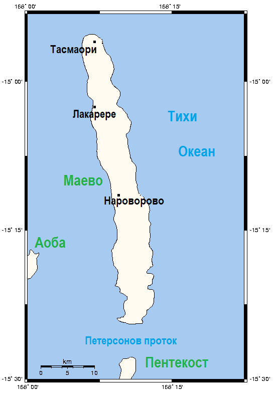
Македонски: Карта на островот Маево, Вануату, на македонски. English: Map of Maéwo Island in Vanuatu in Macedonian. |
| Date | 19 April 2006 (original upload date) |
| Source | This map's source is here, with the uploader's modifications, and the GMT homepage says that the tools are released under the GNU General Public License. |
| Author | Kelisi at English Wikipedia |
| Other versions | English |
Licensing
[edit]
Kelisi at the English-language Wikipedia, the copyright holder of this work, hereby publishes it under the following license:
| This file is licensed under the Creative Commons Attribution-Share Alike 3.0 Unported license. Subject to disclaimers. | ||
| Attribution: Kelisi at the English-language Wikipedia | ||
| ||
| This licensing tag was added to this file as part of the GFDL licensing update. |

|
Permission is granted to copy, distribute and/or modify this document under the terms of the GNU Free Documentation License, Version 1.2 or any later version published by the Free Software Foundation; with no Invariant Sections, no Front-Cover Texts, and no Back-Cover Texts. A copy of the license is included in the section entitled GNU Free Documentation License. Subject to disclaimers. |
The map has been created with the Generic Mapping Tools: https://www.generic-mapping-tools.org/ using one or more of these public-domain datasets for the relief:
|

|
Permission is granted to copy, distribute and/or modify this document under the terms of the GNU Free Documentation License, Version 1.2 or any later version published by the Free Software Foundation; with no Invariant Sections, no Front-Cover Texts, and no Back-Cover Texts. A copy of the license is included in the section entitled GNU Free Documentation License. |
| This file is licensed under the Creative Commons Attribution-Share Alike 3.0 Unported license. | ||
| ||
| This licensing tag was added to this file as part of the GFDL licensing update. |
Original upload log
[edit]
Transferred from en.wikipedia to Commons by Quadell using CommonsHelper.
The original description page was here. All following user names refer to en.wikipedia.
- 2006-04-20 02:08 Kelisi 550×786× (7904 bytes)
- 2006-04-19 23:51 Kelisi 550×786× (7738 bytes) Map of Maéwo Island in Vanuatu. This map's source is [http://www.aquarius.geomar.de/omc/make_map.html here], with the uploader's modifications, and the [http://gmt.soest.hawaii.edu/ GMT homepage] says that the tools are released under the GNU General Pub
File history
Click on a date/time to view the file as it appeared at that time.
| Date/Time | Thumbnail | Dimensions | User | Comment | |
|---|---|---|---|---|---|
| current | 15:40, 14 April 2020 | | 550 × 786 (19 KB) | MacedonianBoy (talk | contribs) | Uploaded own work with UploadWizard |
You cannot overwrite this file.
File usage on Commons
The following page uses this file: