File:MTF Prototype M-47 Map.png
Jump to navigation
Jump to search
Size of this preview: 800 × 476 pixels. Other resolutions: 320 × 191 pixels | 640 × 381 pixels | 1,024 × 610 pixels | 1,280 × 762 pixels | 2,238 × 1,333 pixels.
Original file (2,238 × 1,333 pixels, file size: 52 KB, MIME type: image/png)
Captions
Captions
Add a one-line explanation of what this file represents
Summary
[edit]
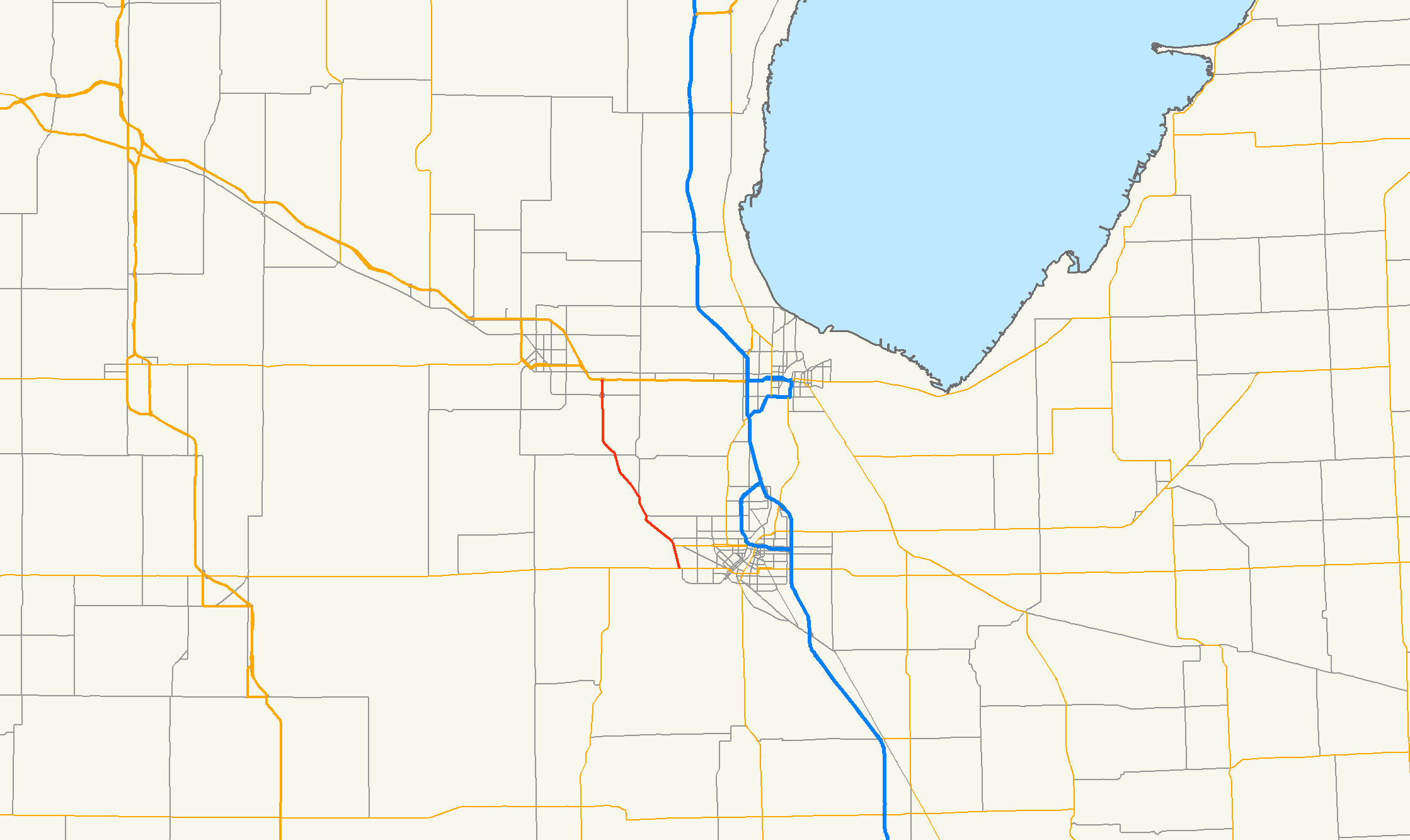
| Description | Prototype of map style for the Map Task Force showing M-47 in Michigan |
| Date | |
| Source | Own work |
| Author | Nick Nolte |
| Permission (Reusing this file) |
Public Domain |
Licensing
[edit]
| I, the copyright holder of this work, release this work into the public domain. This applies worldwide. In some countries this may not be legally possible; if so: I grant anyone the right to use this work for any purpose, without any conditions, unless such conditions are required by law. |
File history
Click on a date/time to view the file as it appeared at that time.
| Date/Time | Thumbnail | Dimensions | User | Comment | |
|---|---|---|---|---|---|
| current | 03:00, 22 September 2006 | | 2,238 × 1,333 (52 KB) | Stratosphere (talk | contribs) | |
| 02:57, 22 September 2006 |  | 2,238 × 1,333 (52 KB) | Stratosphere (talk | contribs) | ||
| 21:45, 21 September 2006 |  | 2,248 × 1,286 (53 KB) | Stratosphere (talk | contribs) | {{Information |Description=Prototype of map style for the Map Task Force showing M-47 in Michigan |Source=Own Work |Date=September 21, 2006 |Author=Nick Nolte |Permission=Public Domain }} |
You cannot overwrite this file.
File usage on Commons
There are no pages that use this file.
File usage on other wikis
The following other wikis use this file:
- Usage on en.wikipedia.org