File:MD03 109.gif
Jump to navigation
Jump to search
No higher resolution available.
MD03_109.gif (635 × 379 pixels, file size: 42 KB, MIME type: image/gif)
Captions
Captions
Add a one-line explanation of what this file represents

|
This locator map image could be re-created using vector graphics as an SVG file. This has several advantages; see Commons:Media for cleanup for more information. If an SVG form of this image is available, please upload it and afterwards replace this template with
{{vector version available|new image name}}.
It is recommended to name the SVG file “MD03 109.svg”—then the template Vector version available (or Vva) does not need the new image name parameter. |
Summary
[edit]
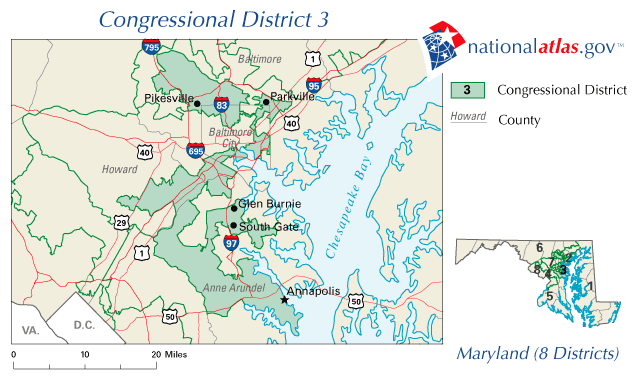
Map of Maryland 3rd congressional district created in 2002. Source: http://nationalatlas.gov/printable/congress.html
Licensing
[edit]
This map was obtained from an edition of the National Atlas of the United States. Like almost all works of the U.S. federal government, works from the National Atlas are in the public domain in the United States.
Online access: NationalAtlas.gov | 1970 print edition: Library of Congress, Perry-Castañeda Library
|
File history
Click on a date/time to view the file as it appeared at that time.
| Date/Time | Thumbnail | Dimensions | User | Comment | |
|---|---|---|---|---|---|
| current | 03:10, 8 April 2007 | | 635 × 379 (42 KB) | Oneworld25 (talk | contribs) | Map of Maryland 3rd congressional district created in 2002. Category:Congressional Districts Maps of the United States Category: Maps of Maryland |
You cannot overwrite this file.
File usage on Commons
There are no pages that use this file.
File usage on other wikis
The following other wikis use this file:
- Usage on pl.wikipedia.org