File:M4 Jct19.jpg
Jump to navigation
Jump to search
No higher resolution available.
M4_Jct19.jpg (640 × 480 pixels, file size: 92 KB, MIME type: image/jpeg)
Captions
Captions
Add a one-line explanation of what this file represents
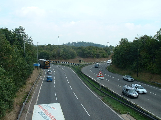
| Description | M32 - Junction with M4 (Junction 19) Taken from the bridge on B4427 looking NE | ||
| Date | |||
| Source | Geograph | ||
| Author | John Phillips | ||
| Permission (Reusing this file) |
This file is licensed under the Creative Commons Attribution-Share Alike 2.0 Generic license. Attribution: John Phillips
|

| Camera location | | View this and other nearby images on: OpenStreetMap |
|---|
Original upload log
[edit]
| date/time | username | resolution | size | edit summary |
|---|---|---|---|---|
| 18:28, 14 October 2006 | User:Regan123 | 640×480 | 92 KB | {{geograph|ST6479|John Phillips}} M32 - Junction with M4 (Junction 19) Taken from the bridge on B4427 looking NE |
File history
Click on a date/time to view the file as it appeared at that time.
| Date/Time | Thumbnail | Dimensions | User | Comment | |
|---|---|---|---|---|---|
| current | 02:04, 8 August 2008 | | 640 × 480 (92 KB) | BetacommandBot (talk | contribs) | move approved by: User:Mattbuck This image was moved from Image:056283 c8313d8a.jpg {{Information |Description = M32 - Junction with M4 (Junction 19) Taken from the bridge on B4427 looking NE |Source = Geograph |Date = 2005-09-22 |Au |
You cannot overwrite this file.
File usage on Commons
The following page uses this file:
File usage on other wikis
The following other wikis use this file:
- Usage on en.wikipedia.org
- Usage on nl.wikipedia.org
- Usage on uk.wikipedia.org
- Usage on www.wikidata.org