File:München, Plinganserstr 25, Schmied-v-Kochel-Relief, 2.jpeg
From Wikimedia Commons, the free media repository
Jump to navigation
Jump to search
Size of this preview: 331 × 600 pixels. Other resolutions: 132 × 240 pixels | 265 × 480 pixels | 423 × 768 pixels | 565 × 1,024 pixels | 1,792 × 3,248 pixels.
Original file (1,792 × 3,248 pixels, file size: 1.87 MB, MIME type: image/jpeg)
File information
Structured data
Captions
Summary
[edit]DescriptionMünchen, Plinganserstr 25, Schmied-v-Kochel-Relief, 2.jpeg |
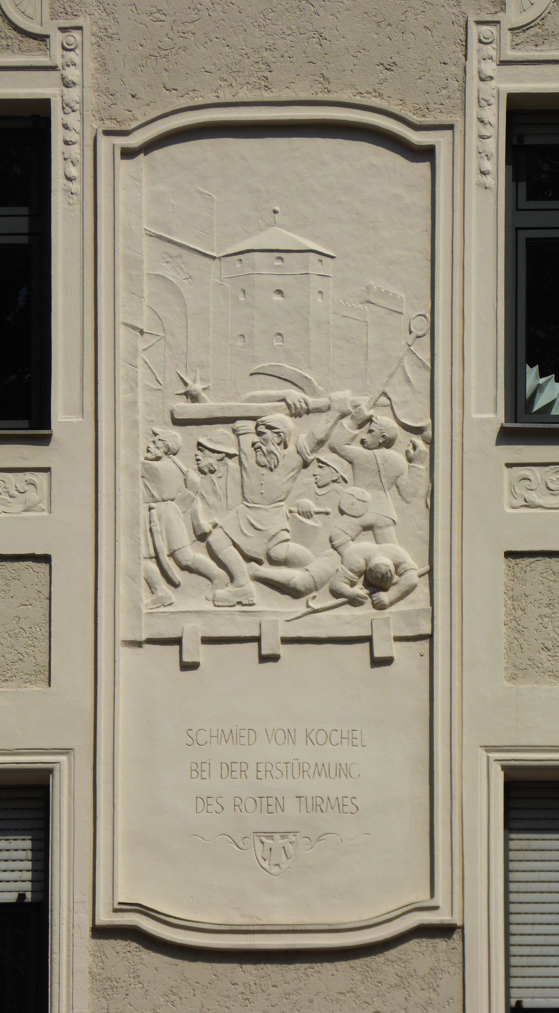
Deutsch: München-Sendling, Plinganserstr. 25, Relief zur Sendlinger Bauernschlacht nach Renovierung.
Esperanto: Munkeno (DE; kvartalo Sendling), Plinganserstr. 25, reliefo pri la kamparana batalo de Sendling, post renovigo.
|
||
Date | |||
Source | Self-photographed | ||
Author | Renardo la vulpo | ||
Permission (Reusing this file) |
Renardo la vulpo, the copyright holder of this work, hereby publishes it under the following license: This file is licensed under the Creative Commons Attribution-Share Alike 4.0 International license. Attribution: Renardo la vulpo
|
Camera location | 48° 07′ 09.5″ N, 11° 32′ 25.8″ E | View this and other nearby images on: OpenStreetMap | 48.119306; 11.540500 |
---|
File history
Click on a date/time to view the file as it appeared at that time.
Date/Time | Thumbnail | Dimensions | User | Comment | |
---|---|---|---|---|---|
current | 12:02, 1 July 2018 | 1,792 × 3,248 (1.87 MB) | Renardo la vulpo (talk | contribs) | {{Information |Description ={{de|1=München-Sendling, Plinganserstr. 25, Relief zur Sendlinger Bauernschlacht nach Renovierung.}} {{eo|1=Munkeno (DE; kvartalo Sendling), Plinganserstr. 25, reliefo pri la kamparana batalo de Sendling, post renovigo.}} {{Baudenkmal Bayern|D-1-62-000-5413}} |Source ={{self-photographed}} |Author ={{U|Renardo la vulpo}} |Date =2018-06-30 |Permission ={{self|author=Renardo la vulpo|cc-by-sa-4.0}} |o... |
You cannot overwrite this file.
File usage on Commons
The following page uses this file:
Metadata
This file contains additional information such as Exif metadata which may have been added by the digital camera, scanner, or software program used to create or digitize it. If the file has been modified from its original state, some details such as the timestamp may not fully reflect those of the original file. The timestamp is only as accurate as the clock in the camera, and it may be completely wrong.
Camera manufacturer | Panasonic |
---|---|
Camera model | DMC-TZ61 |
Exposure time | 1/1,600 sec (0.000625) |
F-number | f/5.2 |
ISO speed rating | 100 |
Date and time of data generation | 15:51, 30 June 2018 |
Lens focal length | 22.3 mm |
Latitude | 17,056,881° 51′ 12.15″ N |
Longitude | 17,056,881° 51′ 12.15″ E |
Orientation | Normal |
Horizontal resolution | 180 dpi |
Vertical resolution | 180 dpi |
Software used | GIMP 2.8.22 |
File change date and time | 13:52, 1 July 2018 |
Y and C positioning | Co-sited |
Exposure Program | Normal program |
Exif version | 2.3 |
Date and time of digitizing | 15:51, 30 June 2018 |
Meaning of each component |
|
Image compression mode | 4 |
APEX exposure bias | 0 |
Maximum land aperture | 4.7578125 APEX (f/5.2) |
Metering mode | Center weighted average |
Light source | Unknown |
Flash | Flash did not fire, compulsory flash suppression |
Supported Flashpix version | 1 |
Color space | sRGB |
Sensing method | One-chip color area sensor |
File source | Digital still camera |
Scene type | A directly photographed image |
Custom image processing | Normal process |
Exposure mode | Auto exposure |
White balance | Auto white balance |
Digital zoom ratio | 0 |
Focal length in 35 mm film | 124 mm |
Scene capture type | Standard |
Scene control | None |
Contrast | Normal |
Saturation | Normal |
Sharpness | Normal |
GPS time (atomic clock) | 00:00 |
Receiver status | Measurement interoperability |
Measurement mode | 2-dimensional measurement |
Measurement precision | Excellent (0) |
Geodetic survey data used | WGS-84 |
GPS date | 0000:00:00 |
GPS tag version | 0.0.3.2 |
Image width | 3,264 px |
Image height | 2,448 px |
Name of GPS processing method | 14 bytes undefined data |
Name of GPS area | 266 bytes undefined data |