File:Lynde Creek mouth.jpg
Jump to navigation
Jump to search

Size of this preview: 800 × 288 pixels. Other resolutions: 320 × 115 pixels | 640 × 230 pixels | 1,024 × 369 pixels | 1,280 × 461 pixels | 2,560 × 921 pixels | 7,500 × 2,699 pixels.
Original file (7,500 × 2,699 pixels, file size: 7.7 MB, MIME type: image/jpeg)
Captions
Captions
Add a one-line explanation of what this file represents
Summary
[edit]
| Description |
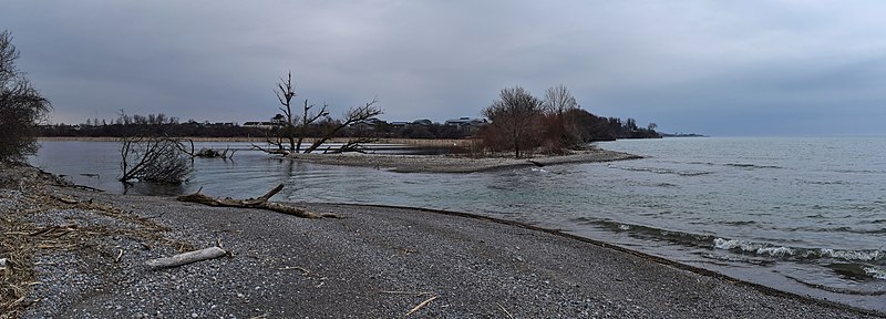
English: Lynde Creek emptying into Lake Ontario.
|
||
| Date | |||
| Source |
This image was created with Hugin. This image was created with darktable. |
||
| Author | The Cosmonaut | ||
| Permission (Reusing this file) |
This file is licensed under the Creative Commons Attribution-Share Alike 2.5 Canada license.
 |
| Camera location | | View this and other nearby images on: OpenStreetMap |
|---|
This image has been assessed using the Quality image guidelines and is considered a Quality image.
|
File history
Click on a date/time to view the file as it appeared at that time.
| Date/Time | Thumbnail | Dimensions | User | Comment | |
|---|---|---|---|---|---|
| current | 14:58, 30 March 2020 | 7,500 × 2,699 (7.7 MB) | The Cosmonaut (talk | contribs) | == {{int:filedesc}} == {{Information |description={{en|1=Lynde Creek emptying into Lake Ontario .}} |date=2020-03-20 |source={{hugin}}{{Created with darktable}} |Author= The Cosmonaut |permission={{Cc-by-sa-2.5-ca}} |other versions= }} {{Location dec|43.845388|-78.952945|}} Category:Lynde Creek Category:Lynde Shores Conservation Area |
You cannot overwrite this file.
File usage on Commons
The following 3 pages use this file:
File usage on other wikis
The following other wikis use this file:
- Usage on en.wikipedia.org