File:Lugnarohögen - KMB - 16001000022821.jpg
Jump to navigation
Jump to search
Size of this preview: 439 × 600 pixels. Other resolutions: 175 × 240 pixels | 562 × 768 pixels.
Original file (562 × 768 pixels, file size: 236 KB, MIME type: image/jpeg)
Captions
Captions
Add a one-line explanation of what this file represents
| Lugnarohögen
( |
|||||||||||||||||||||||||||
|---|---|---|---|---|---|---|---|---|---|---|---|---|---|---|---|---|---|---|---|---|---|---|---|---|---|---|---|
| Photographer |
Folke Hansen |
||||||||||||||||||||||||||
| Title |
Lugnarohögen |
||||||||||||||||||||||||||
| Original caption |
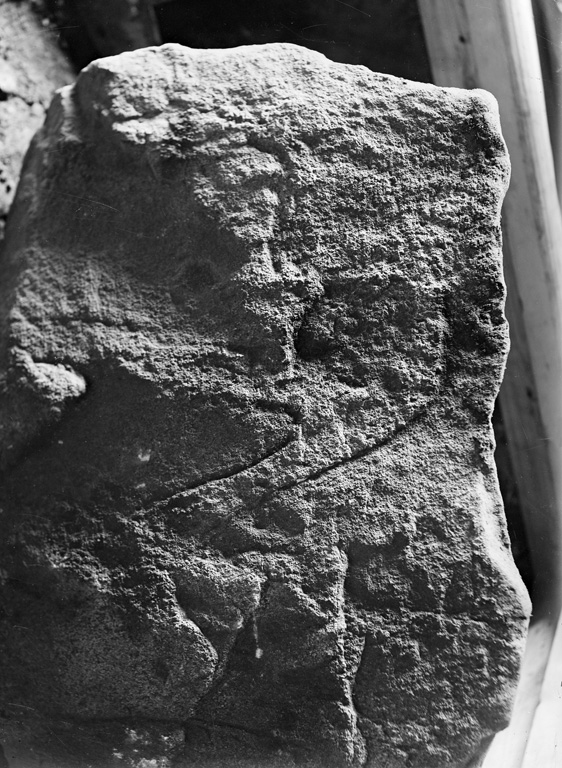
Notera Av dokumentationsskäl har originalbeskrivningen från Riksantikvarieämbetet behållits. Tillrättalägganden och alternativa beskrivningar bör införas separat från nedanstående information. Hög, RAÄ-nummer Hasslöv 3:1. Norra sidostenen i kistan med inhuggen linje.Felaktigheter kan även anmälas till denna sida. Motiv: Hasslöv 3:1 |
||||||||||||||||||||||||||
| Description |
Hög, RAÄ-nummer Hasslöv 3:1. Norra sidostenen i kistan med inhuggen linje. Hasslöv 3:1.
|
||||||||||||||||||||||||||
| Depicted place | Sweden, Laholm Municipality, Q10518502 | ||||||||||||||||||||||||||
| Date | Unknown date | ||||||||||||||||||||||||||
| Collection |
|
||||||||||||||||||||||||||
| Accession number | |||||||||||||||||||||||||||
| Source |
Folke Hansen / Kulturmiljöbild, Riksantikvarieämbetet
|
||||||||||||||||||||||||||
| Permission (Reusing this file) |
|
||||||||||||||||||||||||||


| Object location | | View this and other nearby images on: OpenStreetMap |
|---|
File history
Click on a date/time to view the file as it appeared at that time.
| Date/Time | Thumbnail | Dimensions | User | Comment | |
|---|---|---|---|---|---|
| current | 19:55, 9 June 2017 | | 562 × 768 (236 KB) | AndreCostaWMSE-bot (talk | contribs) | {{Kulturmiljöbild-image | short title = Lugnarohögen | original description = Hög, RAÄ-nummer Hasslöv 3:1. Norra sidostenen i kistan med inhuggen linje.<br> Motiv: Hasslöv 3:1<br> Nyckelord: Raä-Fastigheter, Riksintressen<br> Kategori: Stenkrets... |
You cannot overwrite this file.
File usage on Commons
The following 3 pages use this file: