File:Lufthansa Flight Training Center - Frankfurt - Germany - near Frankfurt Airport - Fraport - 05.jpg
Jump to navigation
Jump to search

Size of this preview: 800 × 469 pixels. Other resolutions: 320 × 188 pixels | 640 × 375 pixels | 1,024 × 600 pixels | 1,280 × 750 pixels | 2,560 × 1,500 pixels | 4,307 × 2,524 pixels.
Original file (4,307 × 2,524 pixels, file size: 7.64 MB, MIME type: image/jpeg)
Captions
Captions
Add a one-line explanation of what this file represents
Summary
[edit]
| Description |
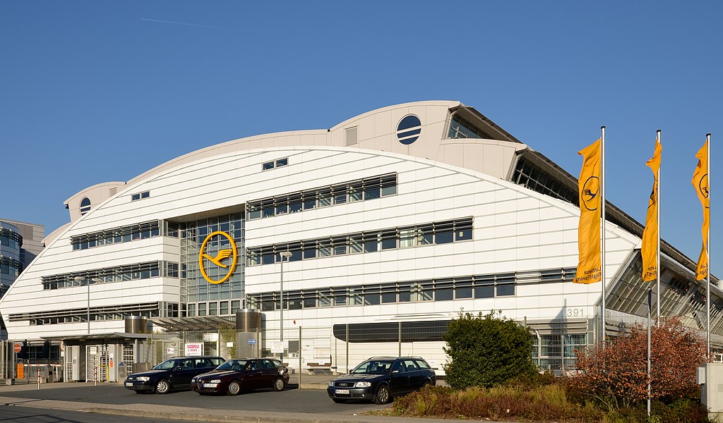
English: Lufthansa Flight Training Center at the Frankfurt airport (Fraport)
Deutsch: Lufthansa Flight Training Center nahe dem de:Flughafen Frankfurt |
| Date | Taken on 22 October 2011 |
| Source | Own work |
| Author | Norbert Nagel, Mörfelden-Walldorf, Germany |
| Camera location | | View this and other nearby images on: OpenStreetMap |
|---|
| Object location | | View this and other nearby images on: OpenStreetMap |
|---|
Licensing
[edit]
I, the copyright holder of this work, hereby publish it under the following license:
This file is licensed under the Creative Commons Attribution-Share Alike 3.0 Unported license.
- You are free:
- to share – to copy, distribute and transmit the work
- to remix – to adapt the work
- Under the following conditions:
- attribution – You must give appropriate credit, provide a link to the license, and indicate if changes were made. You may do so in any reasonable manner, but not in any way that suggests the licensor endorses you or your use.
- share alike – If you remix, transform, or build upon the material, you must distribute your contributions under the same or compatible license as the original.
File history
Click on a date/time to view the file as it appeared at that time.
| Date/Time | Thumbnail | Dimensions | User | Comment | |
|---|---|---|---|---|---|
| current | 08:25, 24 November 2011 | | 4,307 × 2,524 (7.64 MB) | Túrelio (talk | contribs) | Reverted to version as of 20:10, 23 November 2011 |
| 20:10, 23 November 2011 |  | 4,307 × 2,524 (7.64 MB) | NorbertNagel (talk | contribs) | Perspective Correction with Hugin. | |
| 18:12, 5 November 2011 |  | 4,368 × 2,894 (5.65 MB) | NorbertNagel (talk | contribs) | {{Information |Description={{en|1=Lufthansa Flight Training Center at the Frankfurt airport (Fraport)}} {{de|1=Lufthansa Flight Training Center nahe des Flughafen Frankfurt}} |Source={{own}} |Author=[[User:Norbe |
You cannot overwrite this file.
File usage on Commons
The following page uses this file: