File:Loves2020Africa (20).jpg
Jump to navigation
Jump to search

Size of this preview: 450 × 600 pixels. Other resolutions: 180 × 240 pixels | 360 × 480 pixels | 576 × 768 pixels | 768 × 1,024 pixels | 2,304 × 3,072 pixels.
Original file (2,304 × 3,072 pixels, file size: 5.61 MB, MIME type: image/jpeg)
Captions
Captions
Add a one-line explanation of what this file represents
Summary
[edit].jpg&action=edit§ion=1)
| Description |
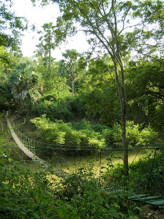
Français : Pont suspendu « Adjudant-Chef Nouha Sane » dans le Parc national du Niokolo-Koba – Région de Tambacounda – Sénégal.
English: “Adjudant-Chef Nouha Sane” suspension bridge in the Niokolo-Koba National Park - Tambacounda Region - Senegal.
|
||
| Date | |||
| Source | Own work | ||
| Author | BluesyPete | ||
| Other versions |
| Camera location | | View this and other nearby images on: OpenStreetMap |
|---|
.jpg¶ms=012.962070_N_-013.114929_E_globe:Earth_type:camera__&language=en)
Licensing
[edit].jpg&action=edit§ion=2)
I, the copyright holder of this work, hereby publish it under the following license:
This file is licensed under the Creative Commons Attribution-Share Alike 3.0 Unported license.
- You are free:
- to share – to copy, distribute and transmit the work
- to remix – to adapt the work
- Under the following conditions:
- attribution – You must give appropriate credit, provide a link to the license, and indicate if changes were made. You may do so in any reasonable manner, but not in any way that suggests the licensor endorses you or your use.
- share alike – If you remix, transform, or build upon the material, you must distribute your contributions under the same or compatible license as the original.

|
This image was uploaded as part of Wiki Loves Africa 2020 photographic contest.
|
File history
Click on a date/time to view the file as it appeared at that time.
| Date/Time | Thumbnail | Dimensions | User | Comment | |
|---|---|---|---|---|---|
| current | 20:17, 20 February 2020 | | 2,304 × 3,072 (5.61 MB) | BluesyPete (talk | contribs) | User created page with UploadWizard |
You cannot overwrite this file.
File usage on Commons
The following page uses this file:
File usage on other wikis
The following other wikis use this file:
- Usage on dag.wikipedia.org
- Usage on en.wikipedia.org
- Usage on fat.wikipedia.org
- Usage on ha.wikipedia.org
- Usage on mt.wikipedia.org
.jpg&oldid=798360857)