File:Lovčičky mapa.png
Jump to navigation
Jump to search
Size of this preview: 510 × 599 pixels. Other resolutions: 204 × 240 pixels | 408 × 480 pixels | 690 × 811 pixels.
Original file (690 × 811 pixels, file size: 62 KB, MIME type: image/png)
Captions
Captions
Add a one-line explanation of what this file represents
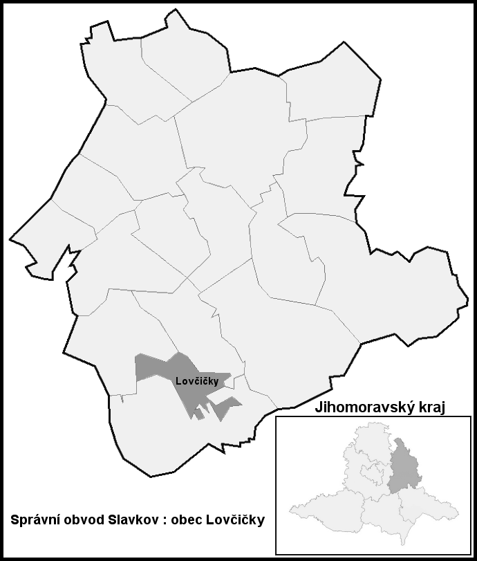
| Description | Hranice Lovčičky (Vyškov-(Slavkov)- czech republic) | ||||||||
| Date | |||||||||
| Source | Own work | ||||||||
| Author | cs:User:Pernak | ||||||||
| Permission (Reusing this file) |
This file is licensed under the Creative Commons Attribution-Share Alike 2.5 Generic, 2.0 Generic and 1.0 Generic license.
|

File history
Click on a date/time to view the file as it appeared at that time.
| Date/Time | Thumbnail | Dimensions | User | Comment | |
|---|---|---|---|---|---|
| current | 11:37, 28 September 2008 | | 690 × 811 (62 KB) | Pernak1 (talk | contribs) | {{Information |Description=Hranice Lovčičky (Vyškov-(Slavkov)- czech republic) |Source="own work" |Date=17.2.2007 |Author= cs:User:Pernak |Permission= {{GFDL}} {{Cc-by-sa-2.5,2.0,1.0}} |other_versions= - }} Category:Lovčičky |
| 10:47, 18 February 2007 |  | 680 × 801 (37 KB) | Pernak~commonswiki (talk | contribs) | {{Information |Description=Hranice Lovčičky (Vyškov-(Slavkov)- czech republic) |Source="own work" |Date=17.2.2007 |Author= cs:User:Pernak |Permission= {{GFDL}} {{Cc-by-sa-2.5,2.0,1.0}} |other_versions= - }} Category:Vyškov |
You cannot overwrite this file.
File usage on Commons
There are no pages that use this file.