File:Louňovice pod Blaníkem, U Pivovaru čp. 76, bývalý pivovar.jpg
From Wikimedia Commons, the free media repository
Jump to navigation
Jump to search
Size of this preview: 800 × 525 pixels. Other resolutions: 320 × 210 pixels | 640 × 420 pixels | 1,024 × 672 pixels | 1,280 × 839 pixels | 2,548 × 1,671 pixels.
Original file (2,548 × 1,671 pixels, file size: 889 KB, MIME type: image/jpeg)
File information
Structured data
Captions
Summary
[edit]DescriptionLouňovice pod Blaníkem, U Pivovaru čp. 76, bývalý pivovar.jpg |
|
||||
Date | Taken on 3 May 2023 | ||||
Source | Self-photographed | ||||
Author | ŠJů | ||||
Permission (Reusing this file) |
I, the copyright holder of this work, hereby publish it under the following license: This file is licensed under the Creative Commons Attribution 4.0 International license. Attribution: ŠJů, Wikimedia Commons
|
File history
Click on a date/time to view the file as it appeared at that time.
Date/Time | Thumbnail | Dimensions | User | Comment | |
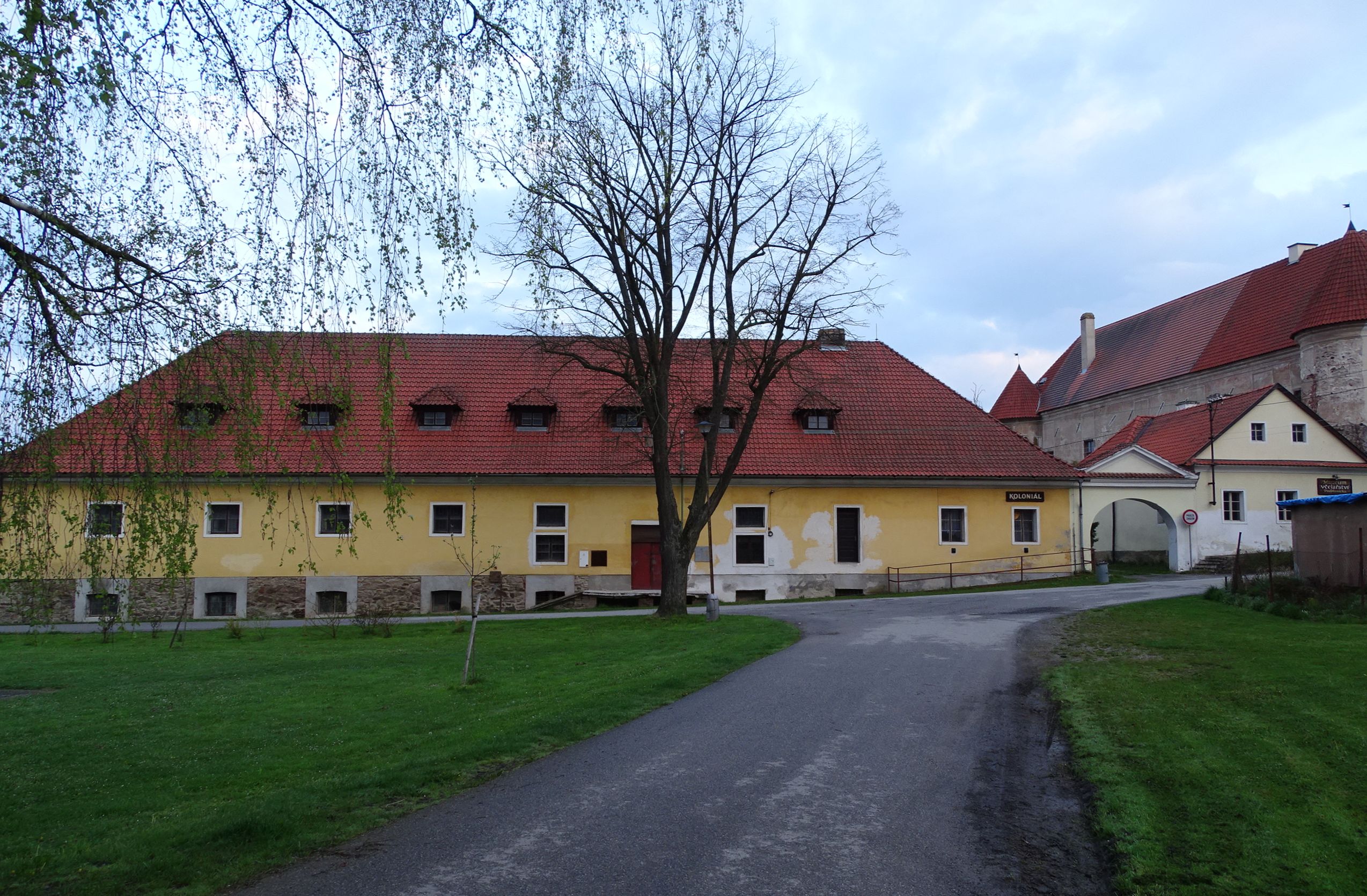
---|---|---|---|---|---|
current | 20:48, 26 January 2024 | 2,548 × 1,671 (889 KB) | ŠJů (talk | contribs) | {{Information |Description={{cs|1=Louňovice pod Blaníkem, okres Benešov. U Pivovaru čp. 76, bývalý pivovar.}} {{en|1=Louňovice pod Blaníkem, Benešov District, Czechia. U Pivovaru 76, former castle brewery.}} {{location|49.6365522|14.8475408|region:CZ_heading:255}} |Date= {{Taken on|2023-05-03}} |Source={{self-photographed}} |Author= ŠJů |Permission={{self... |
You cannot overwrite this file.
File usage on Commons
The following 2 pages use this file:
File usage on other wikis
The following other wikis use this file:
- Usage on www.wikidata.org
Metadata
This file contains additional information such as Exif metadata which may have been added by the digital camera, scanner, or software program used to create or digitize it. If the file has been modified from its original state, some details such as the timestamp may not fully reflect those of the original file. The timestamp is only as accurate as the clock in the camera, and it may be completely wrong.
Camera manufacturer | SONY |
---|---|
Camera model | DSC-HX400V |
Exposure time | 1/60 sec (0.016666666666667) |
F-number | f/3.2 |
ISO speed rating | 80 |
Date and time of data generation | 06:01, 3 May 2023 |
Lens focal length | 4.3 mm |
Latitude | 49° 38′ 11.56″ N |
Longitude | 14° 50′ 51.66″ E |
Altitude | 399.5 meters above sea level |
Orientation | Normal |
Horizontal resolution | 350 dpi |
Vertical resolution | 350 dpi |
Software used | DSC-HX400V v2.10 |
File change date and time | 06:01, 3 May 2023 |
Y and C positioning | Co-sited |
Exposure Program | Normal program |
Exif version | 2.3 |
Date and time of digitizing | 06:01, 3 May 2023 |
Meaning of each component |
|
Image compression mode | 5 |
APEX brightness | 5.83359375 |
APEX exposure bias | 0 |
Maximum land aperture | 2.96875 APEX (f/2.8) |
Metering mode | Pattern |
Light source | Unknown |
Flash | Flash did not fire, compulsory flash suppression |
Supported Flashpix version | 1 |
Color space | sRGB |
File source | Digital still camera |
Scene type | A directly photographed image |
Custom image processing | Normal process |
Exposure mode | Auto exposure |
White balance | Auto white balance |
Digital zoom ratio | 1 |
Scene capture type | Standard |
Contrast | Normal |
Saturation | Normal |
Sharpness | Normal |
GPS time (atomic clock) | 04:01 |
Receiver status | Measurement in progress |
Measurement mode | 3-dimensional measurement |
Measurement precision | Poor (1.35) |
Speed unit | Kilometers per hour |
Speed of GPS receiver | 0.42 |
Reference for direction of movement | True direction |
Direction of movement | 245.13 |
Geodetic survey data used | WGS-84 |
GPS date | 3 May 2023 |
GPS differential correction | 0 |
GPS tag version | 0.0.3.2 |