File:Looking North on the A708 to The Grey Mare's Tail waterfall - panoramio.jpg
Jump to navigation
Jump to search

Size of this preview: 800 × 600 pixels. Other resolutions: 320 × 240 pixels | 640 × 480 pixels | 1,024 × 768 pixels | 1,280 × 960 pixels | 2,560 × 1,920 pixels | 3,264 × 2,448 pixels.
Original file (3,264 × 2,448 pixels, file size: 4.9 MB, MIME type: image/jpeg)
Captions
Captions
Add a one-line explanation of what this file represents
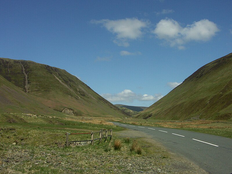
| Description | Looking North on the A708 to The Grey Mare's Tail waterfall | ||
| Date | Taken on 12 May 2009 | ||
| Source | https://web.archive.org/web/20161014075145/http://www.panoramio.com/photo/22423005 | ||
| Author | Stuart Halliday | ||
| Permission (Reusing this file) |
This file is licensed under the Creative Commons Attribution 3.0 Unported license. Attribution: Stuart Halliday
|
| Camera location | | View this and other nearby images on: OpenStreetMap |
|---|

File history
Click on a date/time to view the file as it appeared at that time.
| Date/Time | Thumbnail | Dimensions | User | Comment | |
|---|---|---|---|---|---|
| current | 14:37, 25 October 2016 | | 3,264 × 2,448 (4.9 MB) | Panoramio upload bot (talk | contribs) | {{Information |description=Looking North on the A708 to The Grey Mare's Tail waterfall |date={{Taken on|2009-05-12}} |source=http://www.panoramio.com/photo/22423005 |author=[http://www.panoramio.com/user/3098672?with_photo_id=22423005 Stuart Hallid... |
You cannot overwrite this file.
File usage on Commons
The following page uses this file: