File:London , South Kensington Underground Station - geograph.org.uk - 1739923.jpg
Jump to navigation
Jump to search

Size of this preview: 800 × 585 pixels. Other resolutions: 320 × 234 pixels | 640 × 468 pixels | 1,024 × 749 pixels | 1,280 × 936 pixels | 2,560 × 1,872 pixels | 3,170 × 2,318 pixels.
Original file (3,170 × 2,318 pixels, file size: 959 KB, MIME type: image/jpeg)
Captions
Captions
Add a one-line explanation of what this file represents
Summary
[edit]
| Description |
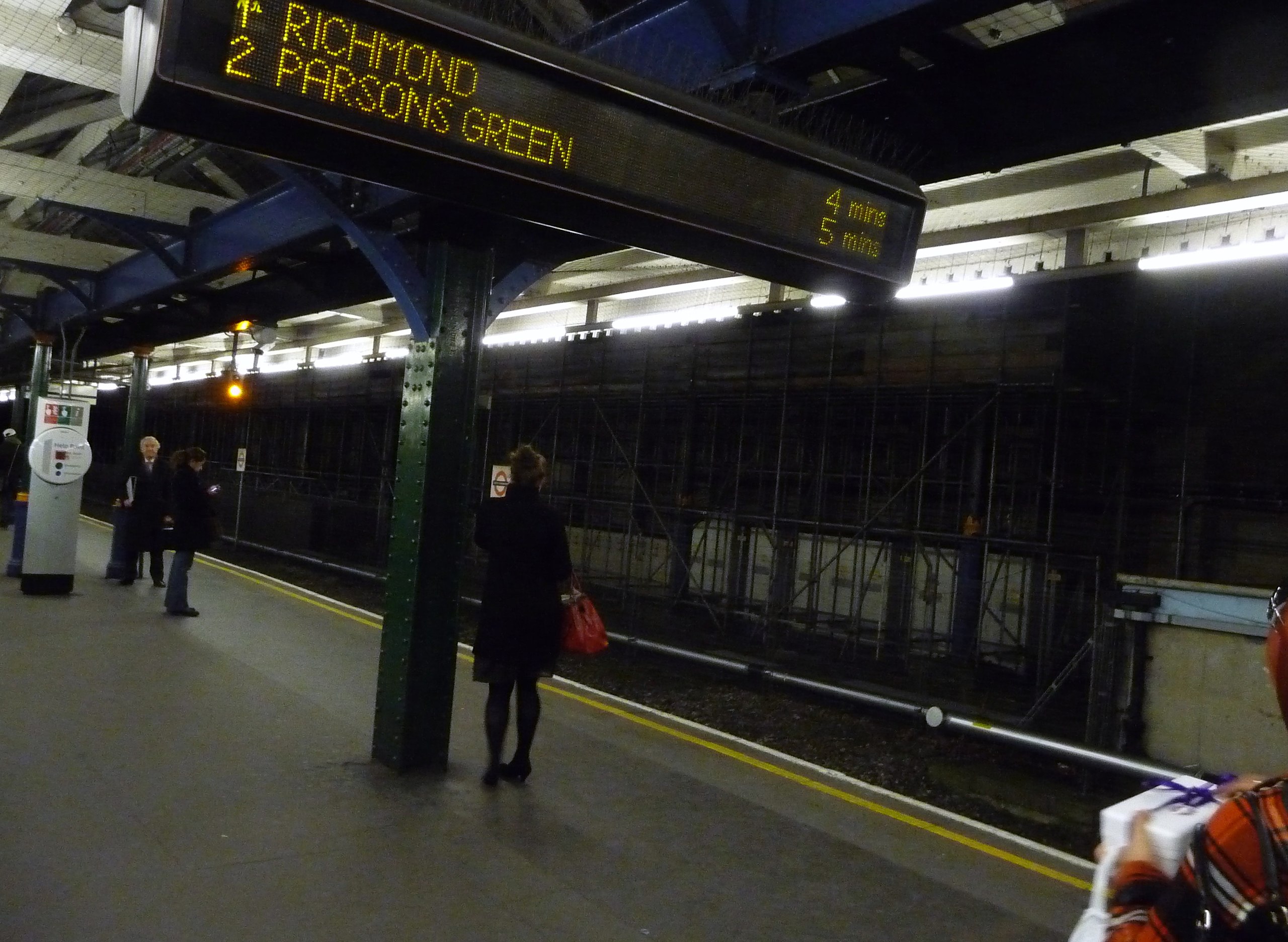
English: London : South Kensington Underground Station South Kensington is a London Underground station in Kensington, west London. It is served by the District, Circle and Piccadilly lines. On the District and Circle lines, the station is between Gloucester Road and Sloane Square, and on the Piccadilly Line, it is between Gloucester Road and Knightsbridge. |
| Date | |
| Source | From geograph.org.uk |
| Author | Lewis Clarke |
| Attribution (required by the license) | Lewis Clarke / London : South Kensington Underground Station / |
| Camera location | | View this and other nearby images on: OpenStreetMap |
|---|
_heading:112.00&language=en)
| Object location | | View this and other nearby images on: OpenStreetMap |
|---|
_heading:112.00&language=en)
Licensing
[edit]

|
This image was taken from the Geograph project collection. See this photograph's page on the Geograph website for the photographer's contact details. The copyright on this image is owned by Lewis Clarke and is licensed for reuse under the Creative Commons Attribution-ShareAlike 2.0 license.
|
This file is licensed under the Creative Commons Attribution-Share Alike 2.0 Generic license.
Attribution: Lewis Clarke
- You are free:
- to share – to copy, distribute and transmit the work
- to remix – to adapt the work
- Under the following conditions:
- attribution – You must give appropriate credit, provide a link to the license, and indicate if changes were made. You may do so in any reasonable manner, but not in any way that suggests the licensor endorses you or your use.
- share alike – If you remix, transform, or build upon the material, you must distribute your contributions under the same or compatible license as the original.
File history
Click on a date/time to view the file as it appeared at that time.
| Date/Time | Thumbnail | Dimensions | User | Comment | |
|---|---|---|---|---|---|
| current | 15:41, 5 March 2011 | | 3,170 × 2,318 (959 KB) | GeographBot (talk | contribs) | == {{int:filedesc}} == {{Information |description={{en|1=London : South Kensington Underground Station South Kensington is a London Underground station in Kensington, west London. It is served by the District, Circle and Piccadilly lines. On the District |
You cannot overwrite this file.
File usage on Commons
There are no pages that use this file.
File usage on other wikis
The following other wikis use this file:
- Usage on uk.wikipedia.org