File:Lomnice nad Popelkou, Antala Staška 208, Josefa Kábrta.jpg
Jump to navigation
Jump to search
Size of this preview: 682 × 600 pixels. Other resolutions: 273 × 240 pixels | 546 × 480 pixels | 912 × 802 pixels.
Original file (912 × 802 pixels, file size: 117 KB, MIME type: image/jpeg)
Captions
Captions
Add a one-line explanation of what this file represents
| Description |
|
||||
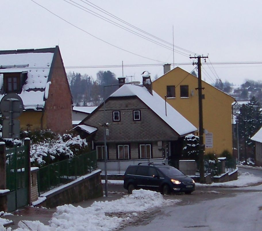
| Date | Taken on 30 November 2013 | ||||
| Source | Self-photographed | ||||
| Author | ŠJů (cs:ŠJů) | ||||
| Permission (Reusing this file) |
I, the copyright holder of this work, hereby publish it under the following license: This file is licensed under the Creative Commons Attribution-Share Alike 3.0 Unported license. Attribution: ŠJů, Wikimedia Commons
|
File history
Click on a date/time to view the file as it appeared at that time.
| Date/Time | Thumbnail | Dimensions | User | Comment | |
|---|---|---|---|---|---|
| current | 05:35, 17 December 2013 | | 912 × 802 (117 KB) | ŠJů (talk | contribs) | {{Information |Description= {{cs|1=cs:Lomnice nad Popelkou, cs:okres Semily. Antala Staška čp. 208, nároží ulice Josefa Kábrta.}} {{en|1=en:Lomnice nad Popelkou, en:Semily District, en:Liberec Region, [[:en:Czech Rep... |
You cannot overwrite this file.
File usage on Commons
The following page uses this file: