File:LoeffelstelzenMGH.jpg
Jump to navigation
Jump to search

Size of this preview: 800 × 531 pixels. Other resolutions: 320 × 212 pixels | 640 × 425 pixels | 1,024 × 680 pixels | 1,280 × 850 pixels | 2,500 × 1,660 pixels.
Original file (2,500 × 1,660 pixels, file size: 1.8 MB, MIME type: image/jpeg)
Captions
Captions
Add a one-line explanation of what this file represents
Summary
[edit]| Description |
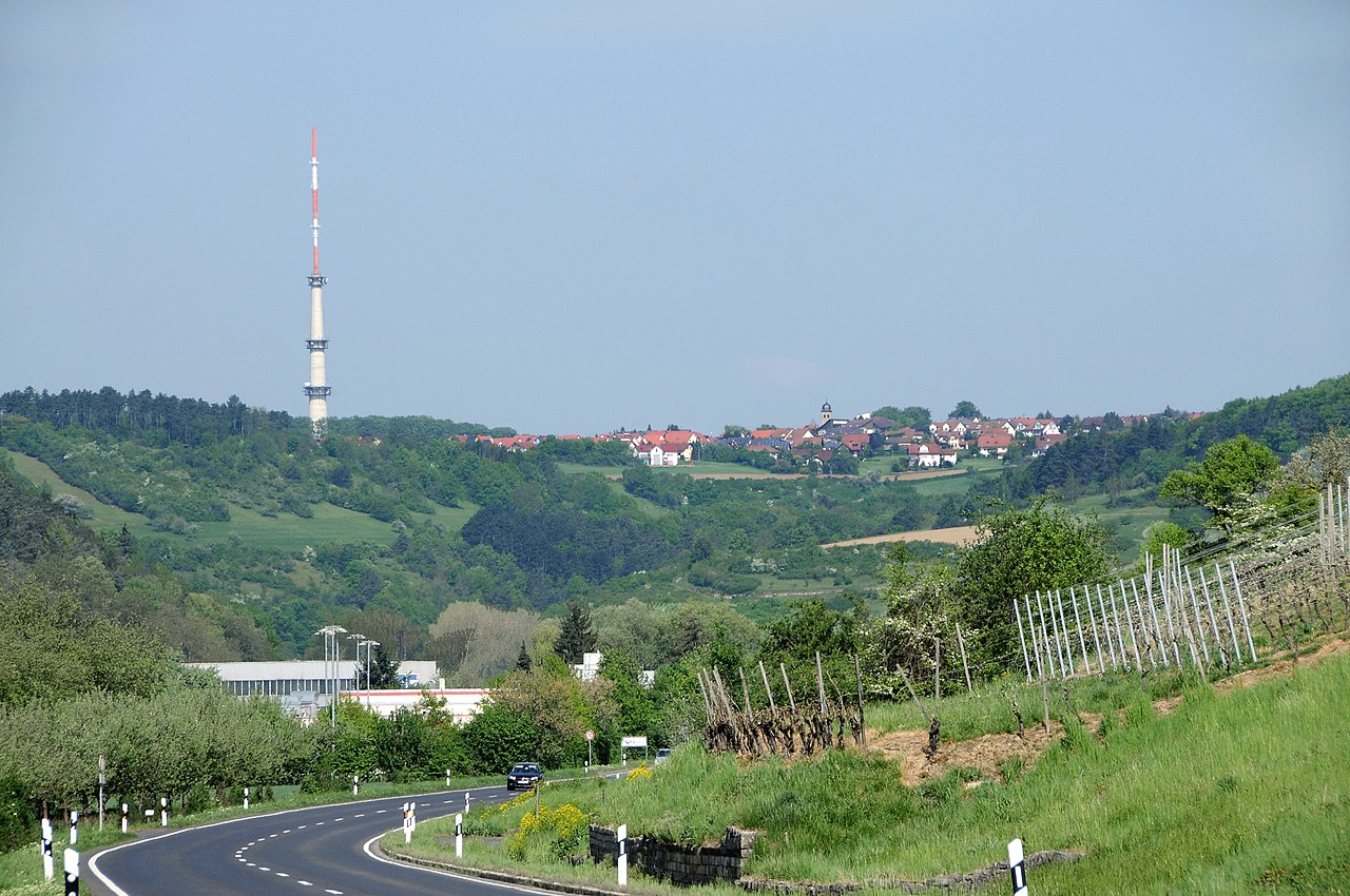
Deutsch: Blick aus dem Taubertal zwischen Igersheim und Markelsheim hinauf nach Löffelstelzen (Bad Mergentheim) mit Sendeturm
English: view upward from Tauber valley between Igersheim and Markelsheim to Löffelstelzen (Bad Mergentheim), Germany, with comminications tower |
| Date | |
| Source | Own work |
| Author | Hubert Berberich (HubiB) |
| Permission (Reusing this file) |
Author: Hubert Berberich, see below |
| Other versions |

| Camera location | | View this and other nearby images on: OpenStreetMap |
|---|
| Object location | | View this and other nearby images on: OpenStreetMap |
|---|
Licensing
[edit]
This file is licensed under the Creative Commons Attribution 3.0 Unported license.
- You are free:
- to share – to copy, distribute and transmit the work
- to remix – to adapt the work
- Under the following conditions:
- attribution – You must give appropriate credit, provide a link to the license, and indicate if changes were made. You may do so in any reasonable manner, but not in any way that suggests the licensor endorses you or your use.
File history
Click on a date/time to view the file as it appeared at that time.
| Date/Time | Thumbnail | Dimensions | User | Comment | |
|---|---|---|---|---|---|
| current | 18:45, 2 May 2011 | | 2,500 × 1,660 (1.8 MB) | HubiB (talk | contribs) | == {{int:filedesc}} == {{Information |Description = {{de|Blick aus dem Taubertal zwischen Igersheim und Markelsheim hinauf nach Löffelstelzen (Bad Mergentheim) mit Sendeturm}} {{en|view upward from Tauber valley between Igersheim and Markelsheim to Löff |
You cannot overwrite this file.
File usage on Commons
The following 3 pages use this file:
File usage on other wikis
The following other wikis use this file:
- Usage on de.wikipedia.org
- Usage on www.wikidata.org
Metadata
Categories:
- Views of Löffelstelzen
- Dry stone walls in Bad Mergentheim
- Vineyards in Bad Mergentheim in April
- Vineyards in Main-Tauber-Kreis in April 2011
- Landesstraße 2251 (Baden-Württemberg) in Markelsheim
- Landesstraße 2251 (Baden-Württemberg) in Igersheim (Igersheim)
- Kaufland in Igersheim
- Towers in Bad Mergentheim
- 1 tower in Main-Tauber-Kreis
- Spring 2011 in Bad Mergentheim
- Vineyards in spring in Bad Mergentheim