File:Locmariaquer Entrée des Pierres Plates.jpg
Original file (2,158 × 3,054 pixels, file size: 3.75 MB, MIME type: image/jpeg)
Captions
Summary
[edit]DescriptionLocmariaquer Entrée des Pierres Plates.jpg | |
Date | |
Source | Own work |
Author | PIERRE ANDRE LECLERCQ |
Camera location | 47° 33′ 24.3″ N, 2° 57′ 02.8″ W | View this and other nearby images on: OpenStreetMap | 47.556750; -2.950778 |
---|
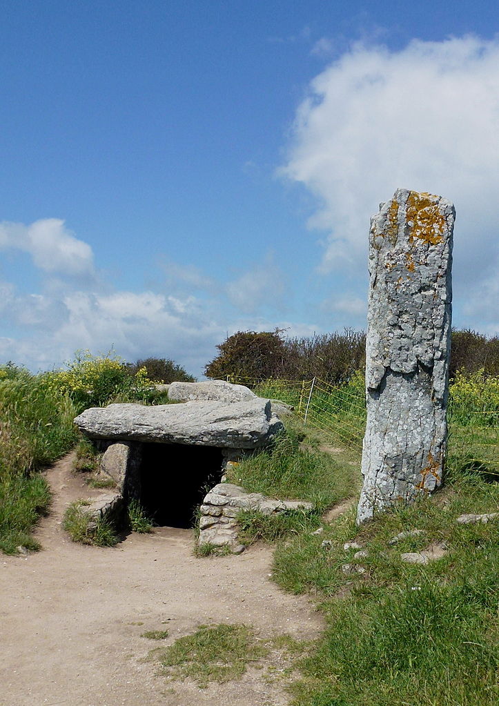
This building is classé au titre des monuments historiques de la France. It is indexed in the base Mérimée, a database of architectural heritage maintained by the French Ministry of Culture, under the reference PA00091385 .
brezhoneg ∙ català ∙ Deutsch ∙ English ∙ español ∙ Esperanto ∙ euskara ∙ français ∙ italiano ∙ magyar ∙ Nederlands ∙ português do Brasil ∙ português ∙ română ∙ sicilianu ∙ slovenščina ∙ suomi ∙ svenska ∙ Ελληνικά ∙ беларуская (тарашкевіца) ∙ македонски ∙ русский ∙ українська ∙ বাংলা ∙ +/− |
Licensing
[edit]- You are free:
- to share – to copy, distribute and transmit the work
- to remix – to adapt the work
- Under the following conditions:
- attribution – You must give appropriate credit, provide a link to the license, and indicate if changes were made. You may do so in any reasonable manner, but not in any way that suggests the licensor endorses you or your use.
- share alike – If you remix, transform, or build upon the material, you must distribute your contributions under the same or compatible license as the original.
This image was uploaded as part of Wiki Loves Earth 2015.
aragonés | العربية | asturianu | azərbaycanca | беларуская (тарашкевіца) | български | বাংলা | brezhoneg | català | čeština | Cymraeg | Deutsch | Ελληνικά | English | español | eesti | euskara | فارسی | français | galego | עברית | hrvatski | հայերեն | Bahasa Indonesia | italiano | 日本語 | ქართული | 한국어 | latviešu | македонски | മലയാളം | मराठी | Bahasa Melayu | norsk bokmål | नेपाली | Nederlands | norsk | polski | português | português do Brasil | русский | sicilianu | shqip | slovenščina | српски / srpski | svenska | ไทย | Türkçe | українська | اردو | 中文 | 中文(台灣) | +/− |
This image has been assessed using the Quality image guidelines and is considered a Quality image.
العربية ∙ جازايرية ∙ беларуская ∙ беларуская (тарашкевіца) ∙ български ∙ বাংলা ∙ català ∙ čeština ∙ Cymraeg ∙ Deutsch ∙ Schweizer Hochdeutsch ∙ Zazaki ∙ Ελληνικά ∙ English ∙ Esperanto ∙ español ∙ eesti ∙ euskara ∙ فارسی ∙ suomi ∙ français ∙ galego ∙ עברית ∙ हिन्दी ∙ hrvatski ∙ magyar ∙ հայերեն ∙ Bahasa Indonesia ∙ italiano ∙ 日本語 ∙ Jawa ∙ ქართული ∙ 한국어 ∙ kurdî ∙ Lëtzebuergesch ∙ lietuvių ∙ македонски ∙ മലയാളം ∙ मराठी ∙ Bahasa Melayu ∙ Nederlands ∙ Norfuk / Pitkern ∙ polski ∙ português ∙ português do Brasil ∙ rumantsch ∙ română ∙ русский ∙ sicilianu ∙ slovenčina ∙ slovenščina ∙ shqip ∙ српски / srpski ∙ svenska ∙ தமிழ் ∙ తెలుగు ∙ ไทย ∙ Tagalog ∙ toki pona ∙ Türkçe ∙ українська ∙ vèneto ∙ Tiếng Việt ∙ 中文 ∙ 中文(简体) ∙ 中文(繁體) ∙ +/− |
File history
Click on a date/time to view the file as it appeared at that time.
Date/Time | Thumbnail | Dimensions | User | Comment | |
---|---|---|---|---|---|
current | 14:55, 16 May 2015 | 2,158 × 3,054 (3.75 MB) | Pierre André Leclercq (talk | contribs) | better contrast | |
14:37, 16 May 2015 | 2,158 × 3,054 (1.47 MB) | Pierre André Leclercq (talk | contribs) | artifacts in the sky corrected | ||
09:42, 5 May 2015 | 2,158 × 3,054 (3.96 MB) | Pierre André Leclercq (talk | contribs) | User created page with UploadWizard |
You cannot overwrite this file.
File usage on Commons
The following 5 pages use this file:
File usage on other wikis
The following other wikis use this file:
- Usage on de.wikipedia.org
- Usage on pl.wikipedia.org
Metadata
This file contains additional information such as Exif metadata which may have been added by the digital camera, scanner, or software program used to create or digitize it. If the file has been modified from its original state, some details such as the timestamp may not fully reflect those of the original file. The timestamp is only as accurate as the clock in the camera, and it may be completely wrong.
Camera manufacturer | Panasonic |
---|---|
Camera model | DMC-TZ20 |
Exposure time | 1/1,300 sec (0.00076923076923077) |
F-number | f/4 |
ISO speed rating | 100 |
Date and time of data generation | 15:45, 22 May 2012 |
Lens focal length | 4.3 mm |
Latitude | 47° 33′ 41.67″ N |
Longitude | 2° 57′ 18.43″ W |
Width | 2,158 px |
Height | 3,054 px |
Compression scheme | Uncompressed |
Pixel composition | RGB |
Orientation | Normal |
Number of components | 3 |
Horizontal resolution | 300 dpi |
Vertical resolution | 300 dpi |
Data arrangement | chunky format |
Software used | RawTherapee |
File change date and time | 16:35, 16 May 2015 |
Exposure Program | Landscape mode (for landscape photos with the background in focus) |
Exif version | 2.3 |
Date and time of digitizing | 15:45, 22 May 2012 |
APEX exposure bias | 0 |
Maximum land aperture | 3.4453125 APEX (f/3.3) |
Metering mode | Pattern |
Light source | Unknown |
Flash | Flash did not fire, auto mode |
Sensing method | One-chip color area sensor |
File source | Digital still camera |
Scene type | A directly photographed image |
Custom image processing | Normal process |
Exposure mode | Auto exposure |
White balance | Auto white balance |
Digital zoom ratio | 0 |
Focal length in 35 mm film | 24 mm |
Scene capture type | Standard |
Scene control | None |
Contrast | Normal |
Saturation | Normal |
Sharpness | Normal |
Unique image ID | CD038C881DFE4C5A817669E72F10F462 |
GPS time (atomic clock) | 13:20 |
Satellites used for measurement | 8 |
Receiver status | Measurement in progress |
Measurement mode | 2-dimensional measurement |
Measurement precision | Good (0.5) |
Geodetic survey data used | WGS-84 |
GPS date | 22 May 2012 |
GPS tag version | 2.3.0.0 |
Structured data
Items portrayed in this file
depicts
22 May 2012
47°33'24.300"N, 2°57'2.801"W
0.00076923076923076923 second
4.3 millimetre
100
image/jpeg
- Files with coordinates missing SDC location of creation
- Base Mérimée
- Monuments historiques classés
- Mérimée with PA parameter
- Cultural heritage monuments in France with known IDs
- Cultural heritage monuments in France missing SDC location of creation
- CC-BY-SA-3.0
- Self-published work
- Images from Wiki Loves Earth 2015
- Images from Wiki Loves Earth 2015 in France
- Images from Wiki Loves Earth missing SDC location of creation
- Uploaded via Campaign:wle-fr
- Dpt du Morbihan by PIERRE ANDRE LECLERCQ
- Quality images from Wiki Loves Earth 2015 in France
- Quality images of France by PIERRE ANDRE LECLERCQ
- Quality images by PIERRE ANDRE LECLERCQ
- Files by User:Pierre André Leclercq
- Quality images of Locmariaquer
- Quality images
- France photographs taken on 2012-05-22