File:Locator map AZO TER OSM relief.png
Jump to navigation
Jump to search

Size of this preview: 748 × 600 pixels. Other resolutions: 299 × 240 pixels | 599 × 480 pixels | 958 × 768 pixels | 1,085 × 870 pixels.
Original file (1,085 × 870 pixels, file size: 595 KB, MIME type: image/png)
Captions
Captions
Add a one-line explanation of what this file represents
Summary
[edit]
| Description |
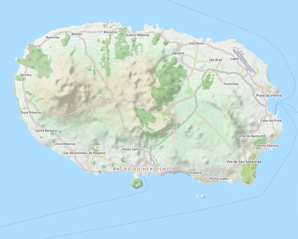
English: Map of Terceira, Azores, Portugal |
| Date | |
| Source | OpenStreet Map |
| Author | OpenStreetMap |
Licensing
[edit]
This file is licensed under the Creative Commons Attribution-Share Alike 3.0 Unported license.
- You are free:
- to share – to copy, distribute and transmit the work
- to remix – to adapt the work
- Under the following conditions:
- attribution – You must give appropriate credit, provide a link to the license, and indicate if changes were made. You may do so in any reasonable manner, but not in any way that suggests the licensor endorses you or your use.
- share alike – If you remix, transform, or build upon the material, you must distribute your contributions under the same or compatible license as the original.
File history
Click on a date/time to view the file as it appeared at that time.
| Date/Time | Thumbnail | Dimensions | User | Comment | |
|---|---|---|---|---|---|
| current | 18:01, 6 April 2018 | | 1,085 × 870 (595 KB) | Frietjes (talk | contribs) | retouch edges |
| 17:55, 6 April 2018 |  | 1,085 × 870 (595 KB) | Frietjes (talk | contribs) | retouch edges | |
| 17:01, 6 April 2018 |  | 1,085 × 870 (596 KB) | Frietjes (talk | contribs) | User created page with UploadWizard |
You cannot overwrite this file.
File usage on Commons
There are no pages that use this file.
File usage on other wikis
The following other wikis use this file:
- Usage on de.wikipedia.org
- Usage on en.wikipedia.org
- Monte Brasil
- Fortress of São João Baptista (Angra do Heroísmo)
- Bay of Salga
- Castle of Moinhos
- Cabras Islets
- Lagoa do Negro
- Serra de Santa Bárbara
- Convent of São Gonçalo (Angra do Heroísmo)
- Forte de São Sebastião
- Fortress of São Mateus da Calheta
- Fort of the Maré
- Fort of Má Ferramenta
- Fort of São João (São Mateus da Calheta)
- Fort of Santo António do Monte Brasil
- Angra do Heroísmo City Hall
- Madre de Deus Manor
- Convent of São Francisco (Angra do Heroísmo)
- Fort of the Church of São Mateus da Calheta
- Fort of the Espírito Santo
- Solar de D. Violante do Canto
- Convent of Esperança (Angra do Heroísmo)
- Convent of Nossa Senhora da Conceição (Angra do Heroísmo)
- Santa Catarina Palace
- Module:Location map/data/Portugal Azores Terceira
- Module:Location map/data/Portugal Azores Terceira/doc
- Fradinhos
- Usage on fr.wikipedia.org
- Usage on si.wikipedia.org
- Usage on sl.wikipedia.org
- Usage on uz.wikipedia.org