File:Locator map AZO TER.svg
Jump to navigation
Jump to search

Size of this PNG preview of this SVG file: 749 × 599 pixels. Other resolutions: 300 × 240 pixels | 600 × 480 pixels | 960 × 768 pixels | 1,280 × 1,024 pixels | 2,559 × 2,048 pixels | 886 × 709 pixels.
Original file (SVG file, nominally 886 × 709 pixels, file size: 1.33 MB)
Captions
Captions
Add a one-line explanation of what this file represents
Summary
[edit]
| Description |
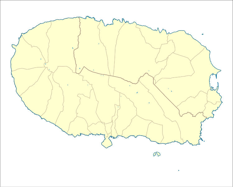
English: Locator map of the civil parishes on Terceira, Portugal |
| Date | |
| Source | Derivative of File:Locator map AZO TER Terra Chã.svg |
| Author | Ruben JC Furtado (modified by Frietjes) |
Licensing
[edit]
I, the copyright holder of this work, hereby publish it under the following license:
This file is licensed under the Creative Commons Attribution-Share Alike 3.0 Unported license.
- You are free:
- to share – to copy, distribute and transmit the work
- to remix – to adapt the work
- Under the following conditions:
- attribution – You must give appropriate credit, provide a link to the license, and indicate if changes were made. You may do so in any reasonable manner, but not in any way that suggests the licensor endorses you or your use.
- share alike – If you remix, transform, or build upon the material, you must distribute your contributions under the same or compatible license as the original.
File history
Click on a date/time to view the file as it appeared at that time.
| Date/Time | Thumbnail | Dimensions | User | Comment | |
|---|---|---|---|---|---|
| current | 19:59, 5 April 2018 | | 886 × 709 (1.33 MB) | Frietjes (talk | contribs) | User created page with UploadWizard |
You cannot overwrite this file.
File usage on Commons
There are no pages that use this file.
File usage on other wikis
The following other wikis use this file:
- Usage on en.wikipedia.org
- Doze Ribeiras
- Feteira (Angra do Heroísmo)
- Nossa Senhora da Conceição (Angra do Heroísmo)
- Porto Judeu
- Posto Santo
- Raminho
- Ribeirinha (Angra do Heroísmo)
- Santa Bárbara (Angra do Heroísmo)
- Santa Luzia (Angra do Heroísmo)
- São Bartolomeu de Regatos
- São Bento (Angra do Heroísmo)
- São Mateus da Calheta
- São Pedro (Angra do Heroísmo)
- Sé (Angra do Heroísmo)
- Serreta (Angra do Heroísmo)
- Vila de São Sebastião
- Agualva (Praia da Vitória)
- Biscoitos
- Cabo da Praia
- Fonte do Bastardo
- Lajes (Praia da Vitória)
- Porto Martins
- Quatro Ribeiras
- São Brás (Praia da Vitória)
- Vila Nova (Praia da Vitória)
- Fontinhas
- Watermill of Agualva
- Dois Paus redoubt
- Três Paus redoubt
- Terra Chã
- Church of São Mateus da Calheta
- Cathedral of Angra do Heroísmo
- Old Church of São Mateus da Calheta
- Santa Cruz, Praia da Vitória
- Module:Location map/data/Portugal Azores Terceira
- Module:Location map/data/Portugal Azores Terceira/doc
- Usage on fr.wikipedia.org
- Usage on si.wikipedia.org
- Usage on uz.wikipedia.org