File:Locator kabupaten bandung.png
Jump to navigation
Jump to search

Size of this preview: 787 × 600 pixels. Other resolutions: 315 × 240 pixels | 630 × 480 pixels | 1,008 × 768 pixels | 1,280 × 975 pixels | 2,560 × 1,951 pixels | 3,260 × 2,484 pixels.
Original file (3,260 × 2,484 pixels, file size: 514 KB, MIME type: image/png)
Captions
Captions
Add a one-line explanation of what this file represents
Summary
[edit]
| Description |
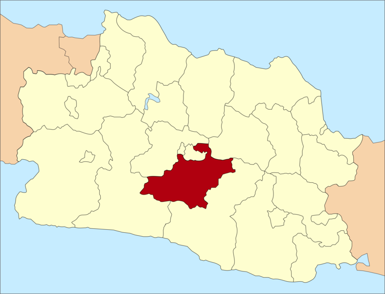
English: Locator map of Bandung Regency, West Java
Bahasa Indonesia: Peta lokasi Kabupaten Bandung, Provinsi Jawa Barat |
| Date |
27 March 2006 (original upload date) 20 January 2019 (revised upload date) |
| Source | Transferred from id.wikipedia to Commons. Transfer was stated to be made by User:Harald Haugland. |
| Author |
Wic2020 at Indonesian Wikipedia Revised by Alzena2nd |
Licensing
[edit]
I, the copyright holder of this work, hereby publish it under the following licenses:
This file is licensed under the Creative Commons Attribution 3.0 Unported license.
- You are free:
- to share – to copy, distribute and transmit the work
- to remix – to adapt the work
- Under the following conditions:
- attribution – You must give appropriate credit, provide a link to the license, and indicate if changes were made. You may do so in any reasonable manner, but not in any way that suggests the licensor endorses you or your use.

|
Permission is granted to copy, distribute and/or modify this document under the terms of the GNU Free Documentation License, Version 1.2 or any later version published by the Free Software Foundation; with no Invariant Sections, no Front-Cover Texts, and no Back-Cover Texts. A copy of the license is included in the section entitled GNU Free Documentation License. |
You may select the license of your choice.
Original upload log
[edit]
The original description page was here. All following user names refer to id.wikipedia.
- 2006-03-27 04:32 Wic2020 243×171×8 (3962 bytes)
File history
Click on a date/time to view the file as it appeared at that time.
| Date/Time | Thumbnail | Dimensions | User | Comment | |
|---|---|---|---|---|---|
| current | 07:25, 20 January 2019 | | 3,260 × 2,484 (514 KB) | Alzena2nd (talk | contribs) | Improved graph aesthetics (original map by User:Wic2020). |
| 02:24, 1 September 2008 |  | 243 × 171 (5 KB) | Wic2020 (talk | contribs) | ||
| 18:21, 28 December 2007 |  | 243 × 171 (4 KB) | File Upload Bot (Magnus Manske) (talk | contribs) | {{BotMoveToCommons|id.wikipedia}} {{Information |Description={{id|== Jenis lisensi ==}} |Source=Transfered from [http://id.wikipedia.org id.wikipedia] Transfer was stated to be made by User:Harald Haugland. |Date=2006-03-27 (original upload date) |Au |
You cannot overwrite this file.
File usage on Commons
There are no pages that use this file.
File usage on other wikis
The following other wikis use this file:
- Usage on ban.wikipedia.org
- Usage on bjn.wikipedia.org
- Usage on ceb.wikipedia.org
- Usage on cs.wikipedia.org
- Usage on de.wikipedia.org
- Usage on fr.wikipedia.org
- Usage on id.wikipedia.org
- Usage on it.wikipedia.org
- Usage on map-bms.wikipedia.org
- Usage on nl.wikipedia.org
- Usage on no.wikipedia.org
- Usage on sv.wikipedia.org