File:Location map of Iroquois County, Illinois.svg
Jump to navigation
Jump to search

Size of this PNG preview of this SVG file: 600 × 600 pixels. Other resolutions: 240 × 240 pixels | 480 × 480 pixels | 768 × 768 pixels | 1,024 × 1,024 pixels | 2,048 × 2,048 pixels.
Original file (SVG file, nominally 768 × 768 pixels, file size: 152 KB)
Captions
Captions
Add a one-line explanation of what this file represents
Summary
[edit]
| Description |
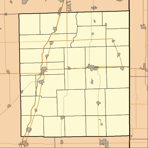
English: This is a map of Iroquois County, Illinois, USA which includes township borders. |
| Date | |
| Source | My own work, using custom-written MapScript applications with National Atlas and United States Census Bureau data |
| Author | Omnedon |
Licensing
[edit]
| I, the copyright holder of this work, release this work into the public domain. This applies worldwide. In some countries this may not be legally possible; if so: I grant anyone the right to use this work for any purpose, without any conditions, unless such conditions are required by law. |
File history
Click on a date/time to view the file as it appeared at that time.
| Date/Time | Thumbnail | Dimensions | User | Comment | |
|---|---|---|---|---|---|
| current | 17:37, 1 September 2010 | | 768 × 768 (152 KB) | Omnedon (talk | contribs) | == {{int:filedesc}} == {{Information |Description={{en|This is a map of Iroquois County, Illinois, USA which includes township borders.}} |Source=My own work, using custom-written MapScript applications with [http://www.na |
You cannot overwrite this file.
File usage on Commons
There are no pages that use this file.
File usage on other wikis
The following other wikis use this file:
- Usage on ar.wikipedia.org
- Usage on azb.wikipedia.org
- Usage on ceb.wikipedia.org
- Usage on en.wikipedia.org
- Ashkum, Illinois
- Beaverville, Illinois
- Buckley, Illinois
- Cissna Park, Illinois
- Clifton, Illinois
- Crescent City, Illinois
- Danforth, Illinois
- Donovan, Illinois
- Gilman, Illinois
- Iroquois, Illinois
- Martinton, Illinois
- Milford, Illinois
- Onarga, Illinois
- Papineau, Illinois
- Sheldon, Illinois
- Thawville, Illinois
- Watseka, Illinois
- Wellington, Illinois
- Woodland, Illinois
- Claytonville, Illinois
- Stockland, Illinois
- Goodwine, Illinois
- Pittwood, Illinois
- Module:Location map/data/USA Illinois Iroquois County/doc
- Bryce, Illinois
- L'Erable, Illinois
- La Hogue, Illinois
- Fountain Creek, Illinois
- Delrey, Illinois
- Eastburn, Illinois
- Module:Location map/data/USA Illinois Iroquois County
- Usage on fa.wikipedia.org
- Usage on fr.wikipedia.org
- Usage on kn.wikipedia.org
- Usage on si.wikipedia.org
- Usage on tr.wikipedia.org
View more global usage of this file.