File:Location map Northern Sagaing.png
Jump to navigation
Jump to search

Size of this preview: 568 × 599 pixels. Other resolutions: 227 × 240 pixels | 455 × 480 pixels | 920 × 971 pixels.
Original file (920 × 971 pixels, file size: 201 KB, MIME type: image/png)
Captions
Captions
Add a one-line explanation of what this file represents
| Description |
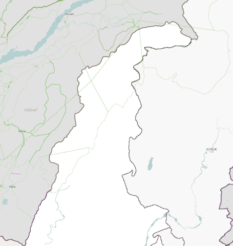
English: Map of the Northern Sagaing/part of Chin State. north eastern Burma.
Geographic limits of the map:
|
| Date | |
| Source | OpenStreetMap, touched using Microsoft Paint |
| Author | OpenStreetMap, cropped by Dr. Blofeld |
| Permission (Reusing this file) |
This file is licensed under the Creative Commons Attribution-Share Alike 2.0 Generic license.
|
File history
Click on a date/time to view the file as it appeared at that time.
| Date/Time | Thumbnail | Dimensions | User | Comment | |
|---|---|---|---|---|---|
| current | 21:40, 26 September 2010 | | 920 × 971 (201 KB) | Blofeld Dr. (talk | contribs) | {{Information |Description={{en|1=j}} |Source=j |Author=j |Date=j |Permission= |other_versions= }} |
You cannot overwrite this file.
File usage on Commons
There are no pages that use this file.
File usage on other wikis
The following other wikis use this file:
- Usage on ar.wikipedia.org
- Usage on fa.wikipedia.org
- Usage on fr.wikipedia.org
- Usage on kn.wikipedia.org
- Usage on tr.wikipedia.org