File:Location map Japan.png
Jump to navigation
Jump to search

Size of this preview: 796 × 599 pixels. Other resolutions: 319 × 240 pixels | 638 × 480 pixels | 1,020 × 768 pixels | 1,280 × 964 pixels | 2,560 × 1,928 pixels | 2,871 × 2,162 pixels.
Original file (2,871 × 2,162 pixels, file size: 545 KB, MIME type: image/png)
Captions
Captions
Add a one-line explanation of what this file represents
Summary
[edit]
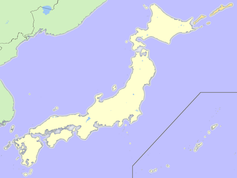
| Description | japan equirectangular projection, with the addition of the China-North Korea border and the Russia-North Korea border. |
| Date | |
| Source | own work, the map base material was from GSHHS, which released it under public domain. |
| Author | LugPaj adpated by Dr. Blofeld |
| Other versions |
 |
Licensing
[edit]
| I, the copyright holder of this work, release this work into the public domain. This applies worldwide. In some countries this may not be legally possible; if so: I grant anyone the right to use this work for any purpose, without any conditions, unless such conditions are required by law. |
File history
Click on a date/time to view the file as it appeared at that time.
| Date/Time | Thumbnail | Dimensions | User | Comment | |
|---|---|---|---|---|---|
| current | 14:26, 6 August 2009 | | 2,871 × 2,162 (545 KB) | Dr. Blofeld~commonswiki (talk | contribs) | {{Information |Description={{en|1=f}} |Source=f |Author=f |Date=f |Permission= |other_versions= }} |
You cannot overwrite this file.
File usage on Commons
There are no pages that use this file.