File:Location map Jakarta Metropilitan Area.png
Jump to navigation
Jump to search

Size of this preview: 799 × 266 pixels. Other resolutions: 320 × 107 pixels | 1,366 × 455 pixels.
Original file (1,366 × 455 pixels, file size: 1,016 KB, MIME type: image/png)
Captions
Captions
Add a one-line explanation of what this file represents
| Description |
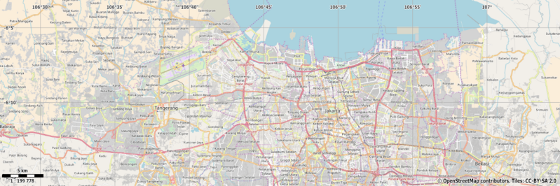
English: Map of Jakarta, Indonesia
Geographic limits of the map:
This file is licensed under the Creative Commons Attribution-Share Alike 2.0 Generic license.
|
| Source | OpenStreetMap |
| Author | Dr. Blofeld |
File history
Click on a date/time to view the file as it appeared at that time.
| Date/Time | Thumbnail | Dimensions | User | Comment | |
|---|---|---|---|---|---|
| current | 20:42, 22 January 2018 | 1,366 × 455 (1,016 KB) | Ecal saputra (talk | contribs) | User created page with UploadWizard |
You cannot overwrite this file.
File usage on Commons
There are no pages that use this file.
File usage on other wikis
The following other wikis use this file:
- Usage on en.wikipedia.org
- Usage on fr.wikipedia.org
- Usage on id.wikipedia.org
- Usage on ja.wikipedia.org
- Usage on si.wikipedia.org
- Usage on zh.wikipedia.org