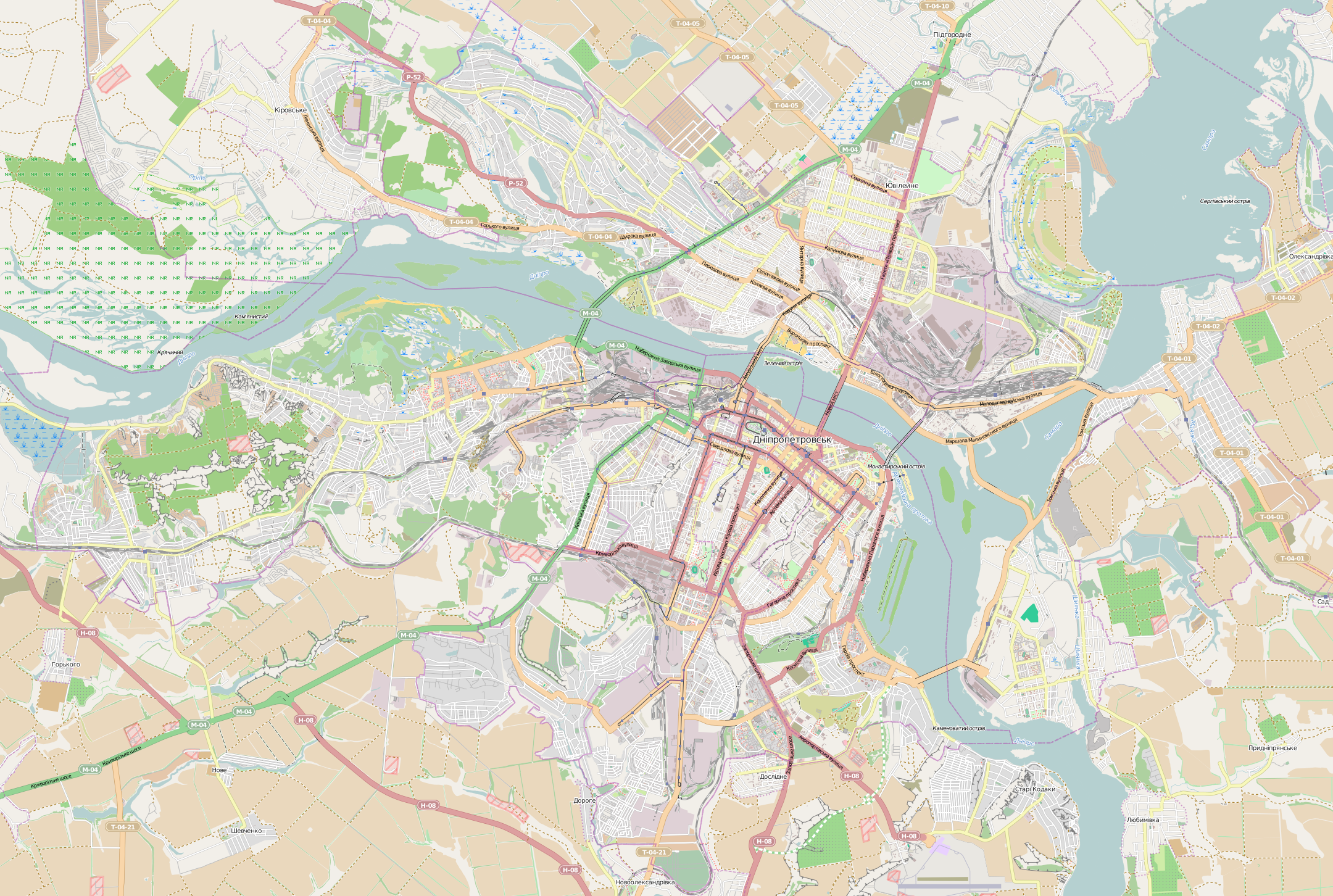
File:Location Map of Dnipropetrovsk.png
Jump to navigation
Jump to search
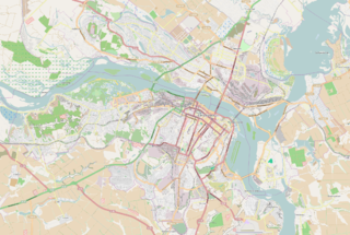
Size of this preview: 800 × 538 pixels. Other resolutions: 320 × 215 pixels | 640 × 430 pixels | 1,024 × 688 pixels | 1,280 × 860 pixels | 2,160 × 1,452 pixels.
Original file (2,160 × 1,452 pixels, file size: 2.81 MB, MIME type: image/png)
Captions
Captions
Add a one-line explanation of what this file represents
| Description |
This map was created from OpenStreetMap project data, collected by the community. This map may be incomplete, and may contain errors. Don't rely solely on it for navigation. |
|||
| Date | (see file history) | |||
| Source | openstreetmap.org | |||
| Creator |
OpenStreetMap contributors |
|||
| Permission (Reusing this file) |
OpenStreetMap data is available under the Open Database License (details). Map tiles are licensed under the Creative Commons Attribution-ShareAlike 2.0 license (CC-BY-SA 2.0).
This file is licensed under the Creative Commons Attribution-Share Alike 2.0 Generic license.
|
|||
| Georeferencing | If inappropriate please set warp_status = skip to hide. |
File history
Click on a date/time to view the file as it appeared at that time.
| Date/Time | Thumbnail | Dimensions | User | Comment | |
|---|---|---|---|---|---|
| current | 14:43, 10 April 2014 | | 2,160 × 1,452 (2.81 MB) | Kedziorek1998d (talk | contribs) | User created page with UploadWizard |
You cannot overwrite this file.
File usage on Commons
There are no pages that use this file.
File usage on other wikis
The following other wikis use this file:
- Usage on be.wikipedia.org
- Usage on eo.wikipedia.org
- Usage on fr.wikipedia.org
- Usage on hu.wikipedia.org
- Usage on ja.wikipedia.org
- Usage on pl.wikipedia.org
- Usage on pl.wikibooks.org
- Usage on ru.wikipedia.org