File:Lincolnshire UK district map (blank).svg
Jump to navigation
Jump to search

Size of this PNG preview of this SVG file: 499 × 600 pixels. Other resolutions: 200 × 240 pixels | 399 × 480 pixels | 639 × 768 pixels | 852 × 1,024 pixels | 1,704 × 2,048 pixels | 1,086 × 1,305 pixels.
Original file (SVG file, nominally 1,086 × 1,305 pixels, file size: 1.27 MB)
Captions
Captions
Add a one-line explanation of what this file represents
| Description |
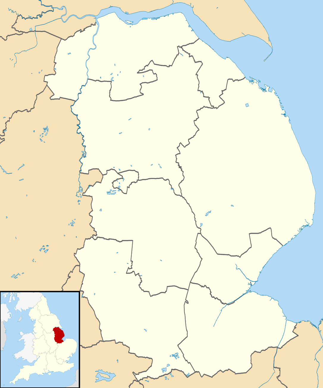
Map of Lincolnshire, UK with districts shown. Equirectangular map projection on WGS 84 datum, with N/S stretched 165% Geographic limits:
|
| Date | |
| Source | Ordnance Survey OpenData. Most data from Boundary-Line product. Lake data from Meridian 2 product. Inset derived from England location map.svg by Spischot. |
| Author | Nilfanion, created using Ordnance Survey data |
| Permission (Reusing this file) |
This file is licensed under the Creative Commons Attribution-Share Alike 3.0 Unported license. Attribution: Contains Ordnance Survey data © Crown copyright and database right
|
File history
Click on a date/time to view the file as it appeared at that time.
| Date/Time | Thumbnail | Dimensions | User | Comment | |
|---|---|---|---|---|---|
| current | 08:13, 22 August 2010 | | 1,086 × 1,305 (1.27 MB) | Nilfanion (talk | contribs) | +inset, water colour tweak |
| 23:43, 16 July 2010 |  | 1,086 × 1,305 (942 KB) | Nilfanion (talk | contribs) | {{Information |Description=Map of Lincolnshire, UK with districts shown. Equirectangular map projection on WGS 84 datum, with N/S stretched 165% Geographic limits: *West: 1.16W *East: 0.39E *North: 53.75N *South: 52.62N |Source=[[w:Or |
You cannot overwrite this file.
File usage on Commons
The following 3 pages use this file:
File usage on other wikis
The following other wikis use this file:
- Usage on ast.wikipedia.org
- Usage on da.wikipedia.org
- Usage on de.wikipedia.org
- Humber-Brücke
- Donington on Bain
- Windmühle Heckington
- Sincil Bank
- Humberside Airport
- Trinity Bridge (Crowland)
- Woolsthorpe-by-Colsterworth
- Glanford Park
- Vorlage:Positionskarte England Lincolnshire
- St Barbara’s Church
- RAF Coningsby
- RAF Scampton
- RAF Cranwell
- Wickenby Aerodrome
- RAF Binbrook
- RAF Barkston Heath
- Usage on en.wikipedia.org
- Usage on es.wikipedia.org
.svg&oldid=501988857)