
File:Limestone hills of Tambun near the Tibetan Temple.jpg
Size of this preview: 799 × 285 pixels. Other resolutions: 320 × 114 pixels | 640 × 228 pixels | 1,024 × 365 pixels | 1,280 × 457 pixels | 2,560 × 913 pixels | 7,096 × 2,532 pixels.
Original file (7,096 × 2,532 pixels, file size: 3.62 MB, MIME type: image/jpeg)
Captions
Captions
Add a one-line explanation of what this file represents
Summary
[edit]
| Description |
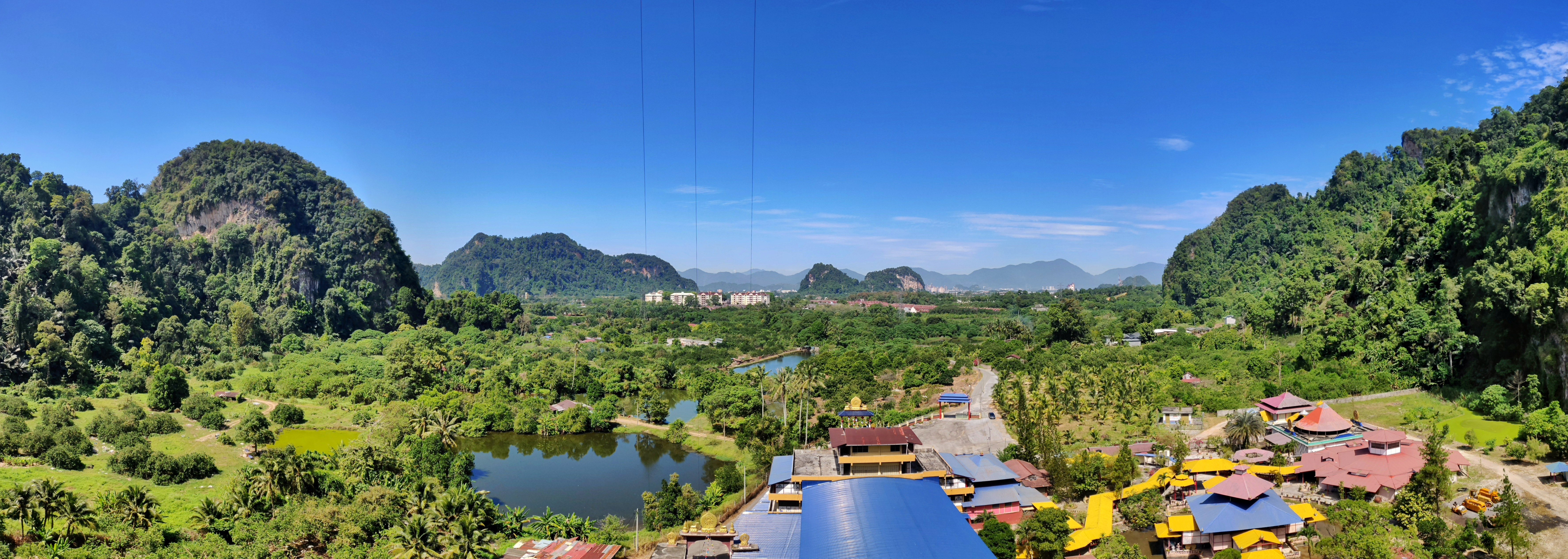
English: Tibetan Temple in Tambun of Ipoh, Perak, Malaysia. |
|||||
| Date | ||||||
| Source | Tibetan Temple, Tambun, Malaysia | |||||
| Author | Dennis Sylvester Hurd | |||||
| Permission (Reusing this file) |
|
| Camera location | | View this and other nearby images on: OpenStreetMap |
|---|
File history
Click on a date/time to view the file as it appeared at that time.
| Date/Time | Thumbnail | Dimensions | User | Comment | |
|---|---|---|---|---|---|
| current | 02:08, 19 October 2019 | 7,096 × 2,532 (3.62 MB) | Molecule Extraction (talk | contribs) | {{Information |description ={{en|1=Tibetan Temple in Tambun of Ipoh, Perak, Malaysia.}} |date =2019-02-12 |source =[https://www.flickr.com/photos/dennissylvesterhurd/46345923404/ Tibetan Temple, Tambun, Malaysia] |author =[https://www.flickr.com/people/dennissylvesterhurd/ Dennis Sylvester Hurd] |permission ={{cc-by-1.0}}{{Flickrreview}} }} Category:Ipoh |
You cannot overwrite this file.
File usage on Commons
The following page uses this file:
File usage on other wikis
The following other wikis use this file:
- Usage on bn.wikipedia.org
- Usage on en.wikipedia.org
- Usage on lt.wikipedia.org
- Usage on ms.wikipedia.org
- Usage on sr.wikipedia.org
- Usage on th.wikipedia.org