File:Leppetalbahn.svg
Jump to navigation
Jump to search

Size of this PNG preview of this SVG file: 584 × 600 pixels. Other resolutions: 234 × 240 pixels | 467 × 480 pixels | 748 × 768 pixels | 997 × 1,024 pixels | 1,994 × 2,048 pixels | 816 × 838 pixels.
Original file (SVG file, nominally 816 × 838 pixels, file size: 642 KB)
Captions
Captions
Add a one-line explanation of what this file represents
Summary
[edit]
| Description |
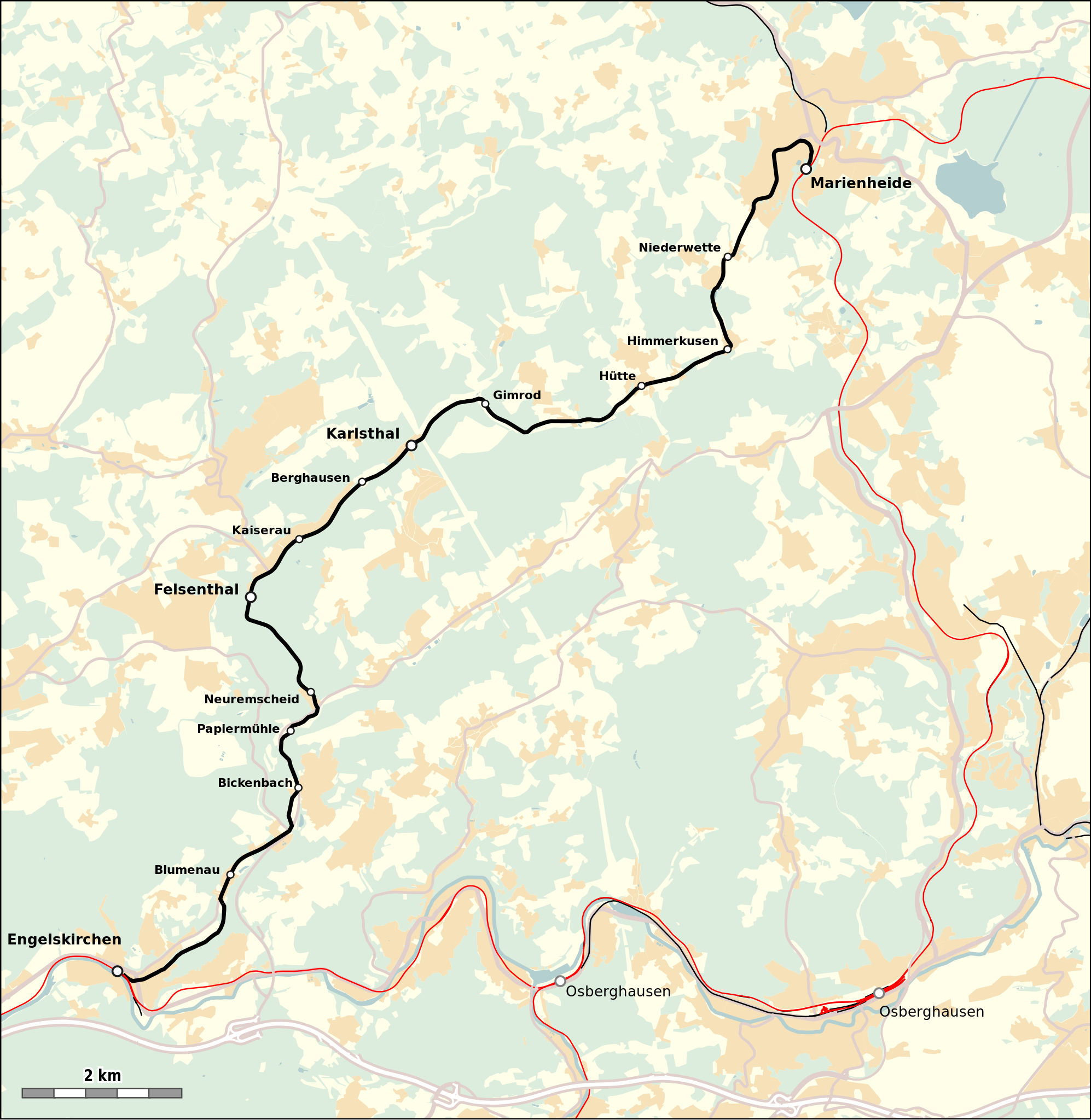
Deutsch: Verlauf der Leppertalbahn |
| Date | |
| Source |
Map was created using:
|
| Creator |
|
| Permission (Reusing this file) |
Map data (c) OpenStreetMap (and) contributors, CC-BY-SA |
| Georeferencing | If inappropriate please set warp_status = skip to hide. |
Licensing
[edit]
| This work is licensed under the Open Database License (summary). |
File history
Click on a date/time to view the file as it appeared at that time.
| Date/Time | Thumbnail | Dimensions | User | Comment | |
|---|---|---|---|---|---|
| current | 11:40, 13 October 2019 | | 816 × 838 (642 KB) | Pechristener (talk | contribs) | == {{int:filedesc}} == {{Map |Description={{de|Verlauf der Leppertalbahn}} |Source=Map was created using: * [http://www.openstreetmap.org/ Open Street Map] Data |Date=2019-10-13 |Author= * Raw data: OpenStreetMap contributers * Map rendering: Pechristener using [http://maperitive.net/ Maperitive] |Permission=Map data (c) OpenStreetMap (and) contributors, CC-BY-SA |other_versions= }} == {{int:license-header}} == {{ODbL}} Category:Leppertal railway |
You cannot overwrite this file.
File usage on Commons
The following page uses this file:
- File:Leppertalbahn.svg (file redirect)
File usage on other wikis
The following other wikis use this file:
- Usage on de.wikipedia.org