File:Leonardo Trail at Palaui Island.jpg
Jump to navigation
Jump to search
Size of this preview: 800 × 600 pixels. Other resolutions: 320 × 240 pixels | 640 × 480 pixels | 1,024 × 768 pixels | 1,280 × 960 pixels | 1,920 × 1,440 pixels.
Original file (1,920 × 1,440 pixels, file size: 862 KB, MIME type: image/jpeg)
Captions
Captions
Add a one-line explanation of what this file represents
Summary
[edit]| Description |
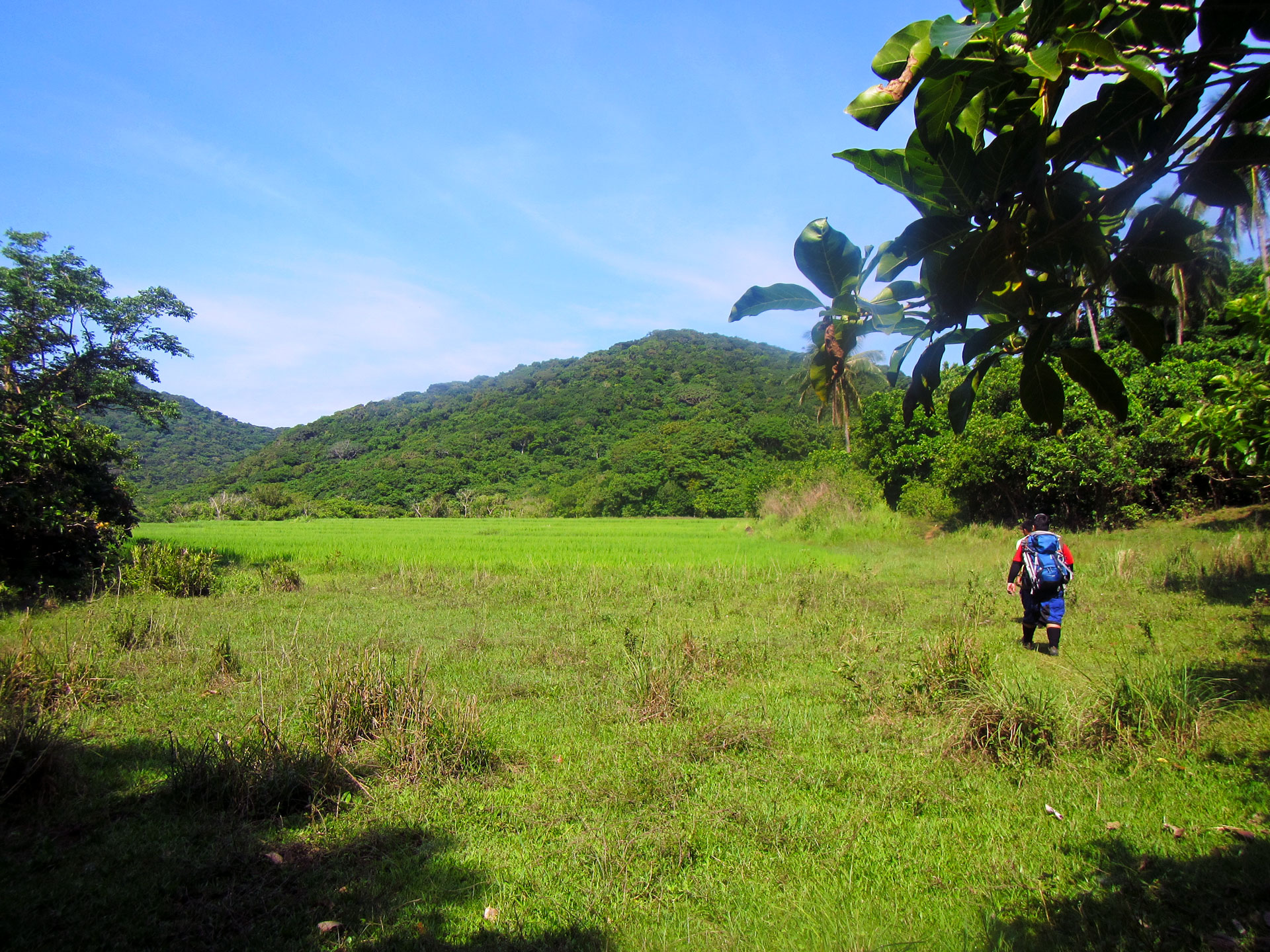
English: Grassland and mountain trekking at Cagayan Valley's Palaui Island to reach the famous Cape Engano, Luzon's northeastern tip frontier. Shot by Schadow1 Expeditions during its mapping expedition of the island last 2013. |
||||
| Date | |||||
| Source | Own work | ||||
| Author | Ervin Malicdem | ||||
| Permission (Reusing this file) |
I, the copyright holder of this work, hereby publish it under the following licenses:
This file is licensed under the Creative Commons Attribution-Share Alike 4.0 International license.
You may select the license of your choice.
|


| Camera location | | View this and other nearby images on: OpenStreetMap |
|---|
Initially published at Schadow1 Expeditions article available at http://www.s1expeditions.com/2013/04/060-palaui-cagayan.html
File history
Click on a date/time to view the file as it appeared at that time.
| Date/Time | Thumbnail | Dimensions | User | Comment | |
|---|---|---|---|---|---|
| current | 17:14, 17 January 2015 | | 1,920 × 1,440 (862 KB) | Schadow1 (talk | contribs) | User created page with UploadWizard |
You cannot overwrite this file.
File usage on Commons
The following 2 pages use this file:
File usage on other wikis
The following other wikis use this file:
- Usage on en.wikipedia.org
- Usage on ilo.wikipedia.org