File:Le vieux cimetière hébraïque (Lido de Venise) (8204372712).jpg
Jump to navigation
Jump to search
Size of this preview: 800 × 533 pixels. Other resolutions: 320 × 213 pixels | 640 × 427 pixels | 1,024 × 683 pixels | 1,280 × 853 pixels | 2,560 × 1,707 pixels | 4,896 × 3,264 pixels.
Original file (4,896 × 3,264 pixels, file size: 14.33 MB, MIME type: image/jpeg)
Captions
Captions
Add a one-line explanation of what this file represents
Summary
[edit]_(8204372712).jpg&action=edit§ion=1)
| Description |
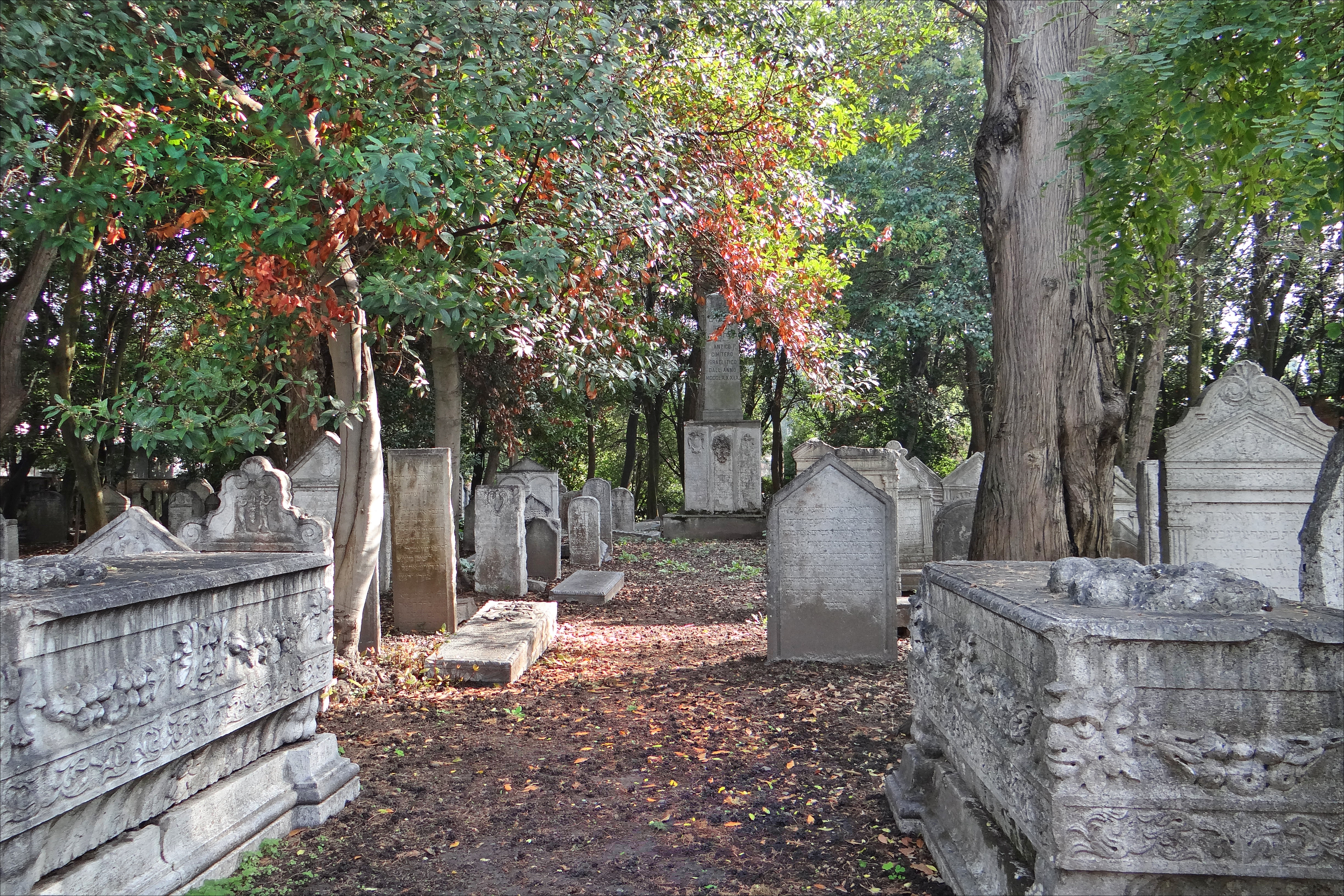
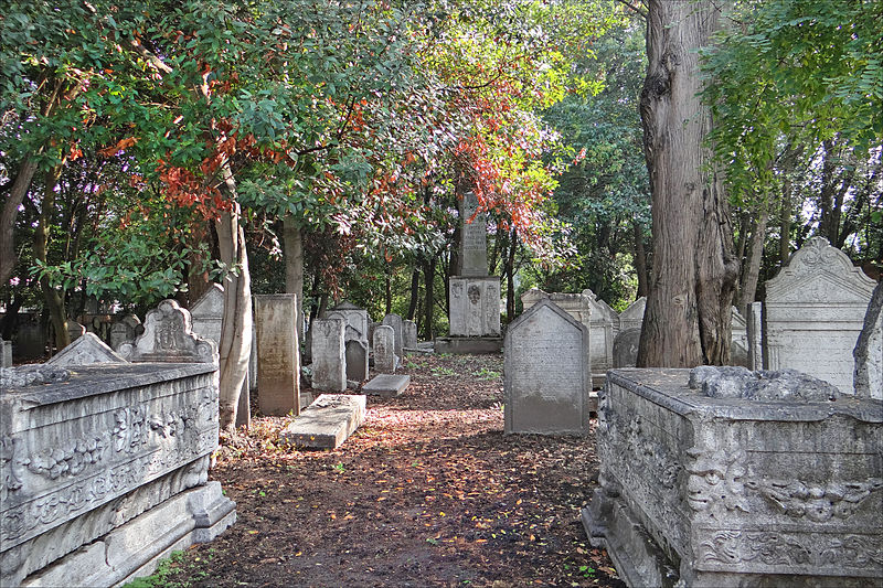
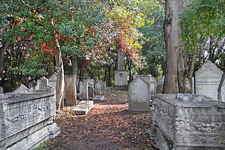
Le vieux cimetière juif (The Jewish Cemetery) est situé près de l'église San Nicolo au Lido de Venise Les premières tombes de ce cimetière datent de 1386 à une époque où les juifs de Venise n'étaient pas encore obligés d'habiter dans le ghetto (créé en 1516). Le cimetière a été utilisé jusque dans les années 1640-1650 puis il a été abandonné en raison de l'extension des fortifications de San Nicolo rendue nécessaire par la menace turque. |
| Date | |
| Source | Le vieux cimetière hébraïque (Lido de Venise) |
| Author | Jean-Pierre Dalbéra from Paris, France |
| Camera location | | View this and other nearby images on: OpenStreetMap |
|---|
_(8204372712).jpg¶ms=045.424671_N_0012.378359_E_globe:Earth_type:camera_source:Flickr_&language=en)
Licensing
[edit]_(8204372712).jpg&action=edit§ion=2)
This file is licensed under the Creative Commons Attribution 2.0 Generic license.
- You are free:
- to share – to copy, distribute and transmit the work
- to remix – to adapt the work
- Under the following conditions:
- attribution – You must give appropriate credit, provide a link to the license, and indicate if changes were made. You may do so in any reasonable manner, but not in any way that suggests the licensor endorses you or your use.
| This image, originally posted to Flickr, was reviewed on 15 February 2013 by the administrator or reviewer File Upload Bot (Magnus Manske), who confirmed that it was available on Flickr under the stated license on that date. |
File history
Click on a date/time to view the file as it appeared at that time.
| Date/Time | Thumbnail | Dimensions | User | Comment | |
|---|---|---|---|---|---|
| current | 15:50, 15 February 2013 | | 4,896 × 3,264 (14.33 MB) | File Upload Bot (Magnus Manske) (talk | contribs) | Transferred from Flickr by User:russavia |
You cannot overwrite this file.
File usage on Commons
The following page uses this file:
File usage on other wikis
The following other wikis use this file:
- Usage on de.wikipedia.org
- Usage on en.wikipedia.org
- Usage on fr.wikipedia.org
- Usage on he.wikipedia.org
- Usage on it.wikipedia.org
- Usage on it.wikibooks.org
- Usage on it.wikivoyage.org
- Usage on nl.wikipedia.org
- Usage on www.wikidata.org
_(8204372712).jpg&oldid=924165701)