File:Le Coua Huppé - panoramio.jpg
Jump to navigation
Jump to search
Size of this preview: 600 × 600 pixels. Other resolutions: 240 × 240 pixels | 480 × 480 pixels | 768 × 768 pixels | 1,200 × 1,200 pixels.
Original file (1,200 × 1,200 pixels, file size: 553 KB, MIME type: image/jpeg)
Captions
Captions
Add a one-line explanation of what this file represents
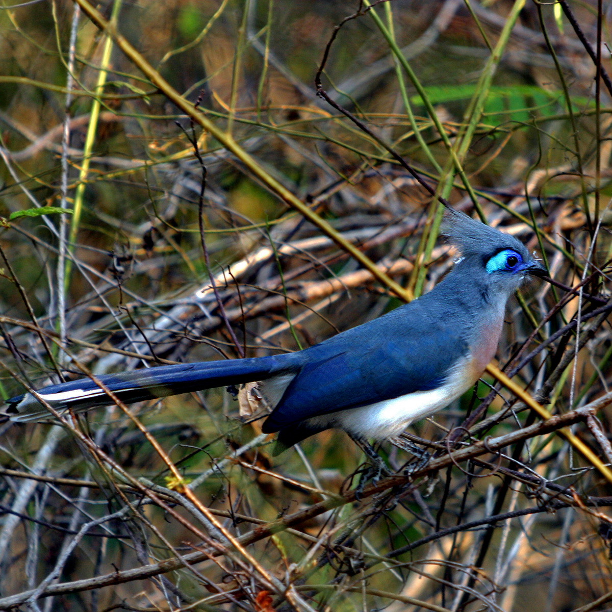
| Description | Le Coua Huppé | ||
| Date | 17 September 2010 (original upload date) | ||
| Source | https://web.archive.org/web/20161016155626/http://www.panoramio.com/photo/40897433 | ||
| Author | Fanomezantsoa Andria… | ||
| Permission (Reusing this file) |
This file is licensed under the Creative Commons Attribution 3.0 Unported license. Attribution: Fanomezantsoa Andria…
|
| Camera location | | View this and other nearby images on: OpenStreetMap |
|---|
File history
Click on a date/time to view the file as it appeared at that time.
| Date/Time | Thumbnail | Dimensions | User | Comment | |
|---|---|---|---|---|---|
| current | 01:23, 10 November 2016 | | 1,200 × 1,200 (553 KB) | Panoramio upload bot (talk | contribs) | {{Information |description=Le Coua Huppé |date={{Original upload date|2010-09-17}} |source=http://www.panoramio.com/photo/40897433 |author=[http://www.panoramio.com/user/4975076?with_photo_id=40897433 Fanomezantsoa Andria…] |permission={{cc-by-3.0|F... |
You cannot overwrite this file.
File usage on Commons
There are no pages that use this file.
File usage on other wikis
The following other wikis use this file:
- Usage on uk.wikipedia.org