File:Laskowa (gmina) location map.png

Original file (2,393 × 1,649 pixels, file size: 630 KB, MIME type: image/png)
Captions
Captions
Summary
[edit]_location_map.png&action=edit§ion=1)
| Description |
English: Location map |
| Date | |
| Source | Own work |
| Author | Smat |
| Description |
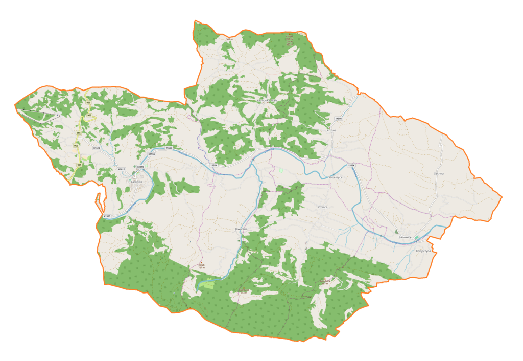
Polski: Mapa gminy Laskowa, Polska
English: Map of Laskowa (gmina), Poland |
|||||||||
| Date | ||||||||||
| Source | You may find a page on the OpenStreetMap wiki page for Laskowa (gmina) | |||||||||
| Creator |
OpenStreetMap contributors OpenStreetMap contributors |
|||||||||
| Permission (Reusing this file) |
OpenStreetMap data is available under the Open Database License (details). Map tiles are licensed under the Creative Commons Attribution-ShareAlike 2.0 license (CC-BY-SA 2.0).
This file is licensed under the Creative Commons Attribution-Share Alike 2.0 Generic license.
|
|||||||||
| Geotemporal data | ||||||||||
| Bounding box |
|
|||||||||
| Georeferencing | If inappropriate please set warp_status = skip to hide. | |||||||||
Licensing
[edit]_location_map.png&action=edit§ion=2)
| This work contains information from OpenStreetMap, which is made available under the Open Database License (ODbL).
The ODbL does not require any particular license for maps produced from ODbL data. Prior to 1 August 2020, map tiles produced by the OpenStreetMap Foundation were licensed under the CC-BY-SA-2.0 license. Maps produced by other people may be subject to other licences. |
File history
Click on a date/time to view the file as it appeared at that time.
| Date/Time | Thumbnail | Dimensions | User | Comment | |
|---|---|---|---|---|---|
| current | 18:48, 18 March 2018 | | 2,393 × 1,649 (630 KB) | Smat (talk | contribs) | User created page with UploadWizard |
You cannot overwrite this file.
File usage on Commons
There are no pages that use this file.
File usage on other wikis
The following other wikis use this file:
- Usage on pl.wikipedia.org
- Jaworzna
- Krosna (województwo małopolskie)
- Kobyłczyna
- Sechna
- Strzeszyce
- Żmiąca
- Kamionka Mała (powiat limanowski)
- Laskowa (powiat limanowski)
- Ujanowice
- Cmentarz wojenny nr 357 – Kamionka Mała
- Cmentarz wojenny nr 359 – Jaworzna
- Parafia Najświętszego Imienia Maryi w Laskowej
- Parafia Przemienienia Pańskiego w Jaworznej
- Kościół Przemienienia Pańskiego w Jaworznej
- Parafia św. Katarzyny Panny i Męczennicy w Kamionce Małej
- Kościół św. Katarzyny Panny i Męczennicy w Kamionce Małej
- Parafia św. Józefa Rzemieślnika w Krosnej
- Kościół św. Józefa Rzemieślnika w Krosnej
- Kościół Najświętszego Imienia Maryi w Laskowej
- Parafia św. Michała Archanioła w Ujanowicach
- Kościół św. Michała Archanioła w Ujanowicach
- Parafia Najświętszego Serca Pana Jezusa w Żmiącej
- Kościół Najświętszego Serca Pana Jezusa w Żmiącej
- Mulowiec
- Cmentarz wojenny nr 358 – Laskowa
- Jastrząbka (Beskid Wyspowy)
- Kamionka (dopływ Łososiny)
- Stacja Narciarska Laskowa-Kamionna
- Dwór w Laskowej
- Gołębiówka (Kobyłczyna)
- Żmiączka
- Moduł:Mapa/dane/Laskowa (gmina)
- Jaskinia w Jaworzu
- Usage on pl.wikibooks.org
- Usage on www.wikidata.org
_location_map.png&oldid=706032383)