File:Larviksfjorden - panoramio.jpg

Original file (2,048 × 1,536 pixels, file size: 760 KB, MIME type: image/jpeg)
Captions
Captions
| Description |
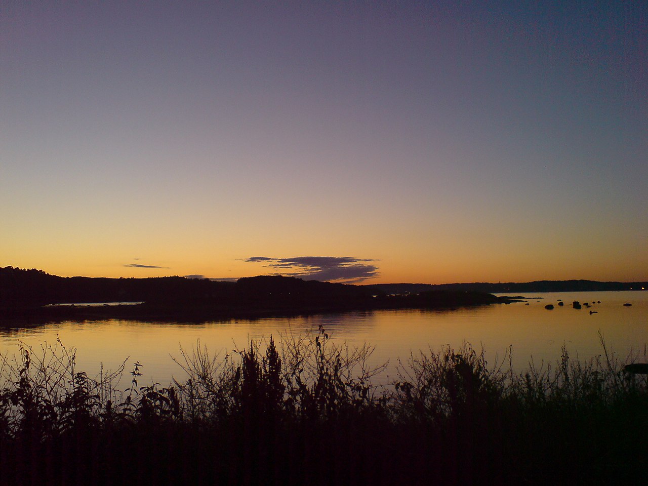
Larviksfjorden Larviksfjord is a 7 km long fjord that extends from the line Stavernsodden light house to Malmøya in Larvik With the Batteristranda innermost. Viksfjord is an 8 km long fjord side. Along the fjord's western border is the 5 km long hiking trail "Fjordstien." Geologically speaking, the lake Farris is the continuation of Larvik Fjord. The water is 22 m over sea levele and is about 20km long. Farriseidet is part of the moraine from the last ice age that has dammed up the water. The Lågen river which is the 4th best salmon river has its outlet in Larvik Fjord. It was formerly an important timber floating self and export and production of lumber has been an important industry in the area around Larvik Fjord, such as Agnes. In both sailing ships and when the first steamboats came was also the outer parts of the fjord important . Around 1750 was built naval station in Stavern. Norway's first steamship Calls Stavern from 1827. Today Larvik daily liner relations with Hirtshals in Denmark. Along the bay there are a number of good swimming spots and beaches including White Sand, Karistranda, Batteristranda, Rødberggrunnen beach and the Lillevikskjæret The beach. There are also several good moorings for pleasure boats. |
||
| Date | Taken on 20 July 2007 | ||
| Source | https://web.archive.org/web/20161011030856/http://www.panoramio.com/photo/6446729 | ||
| Author | trolvag | ||
| Permission (Reusing this file) |
This file is licensed under the Creative Commons Attribution-Share Alike 3.0 Unported license. Attribution: trolvag
|
| Camera location | | View this and other nearby images on: OpenStreetMap |
|---|
File history
Click on a date/time to view the file as it appeared at that time.
| Date/Time | Thumbnail | Dimensions | User | Comment | |
|---|---|---|---|---|---|
| current | 06:38, 6 January 2016 | | 2,048 × 1,536 (760 KB) | Panoramio upload bot (talk | contribs) | {{Information |description=Larviksfjorden <p>Larviksfjord is a 7 km long fjord that extends from the line Stavernsodden light house to Malmøya in Larvik With the Batteristranda innermost. Viksfjord is an 8 km long fjord side. Along the fjord's we... |
You cannot overwrite this file.
File usage on Commons
There are no pages that use this file.