File:Larix gmelinii Neryungrinskiy Rayon 2.jpg
Jump to navigation
Jump to search
Size of this preview: 800 × 600 pixels. Other resolutions: 320 × 240 pixels | 640 × 480 pixels | 1,024 × 768 pixels | 1,280 × 960 pixels | 1,600 × 1,200 pixels.
Original file (1,600 × 1,200 pixels, file size: 1.06 MB, MIME type: image/jpeg)
Captions
Captions
Add a one-line explanation of what this file represents
Summary
[edit]
| Description |
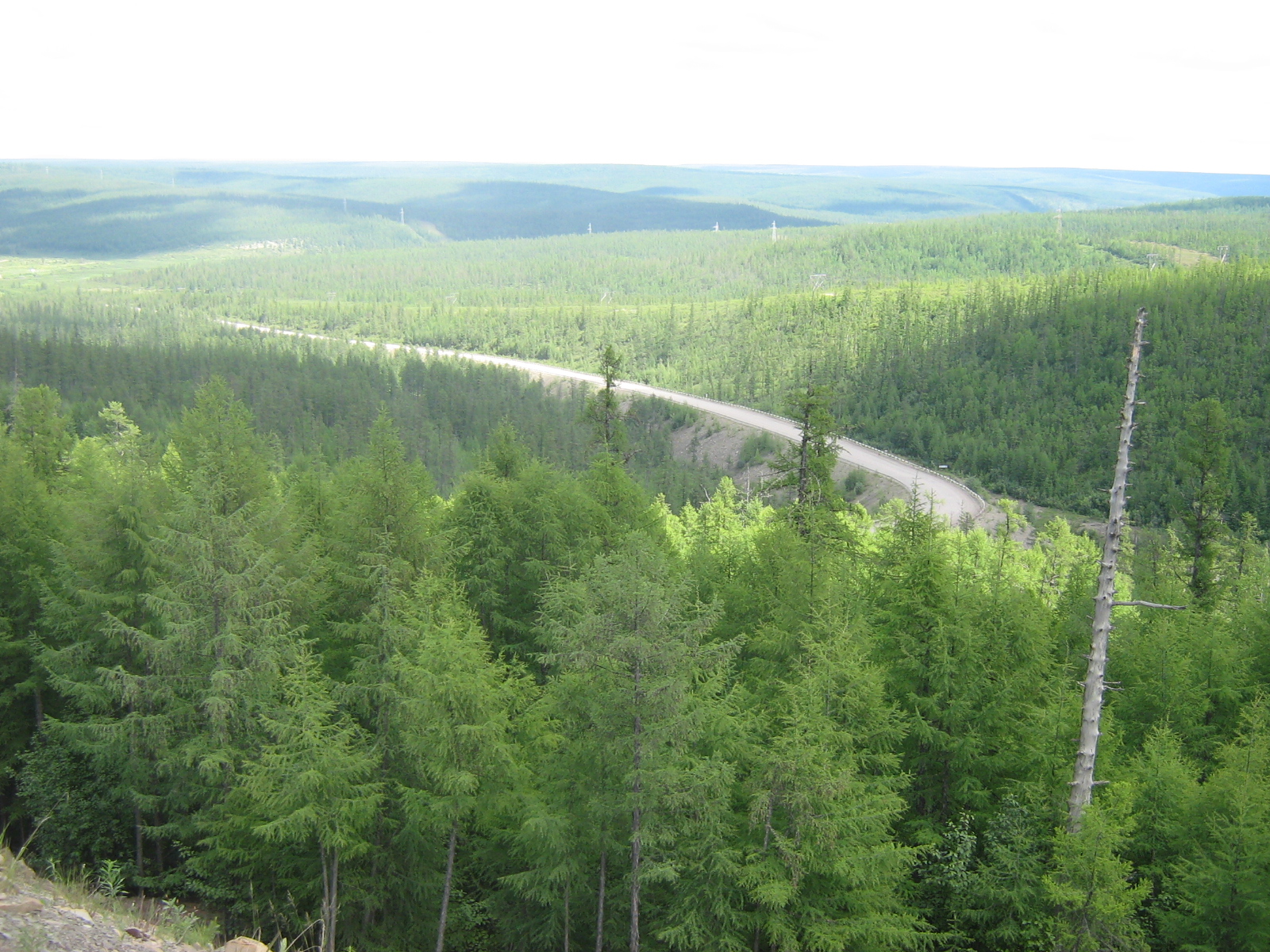
English: Larix gmelinii taiga by road M56 "Lena", Neryungrinskiy Rayon, Sakha, Russia Русский: Чульмаканская петля на трассе М56 "Лена" |
| Date | |
| Source | panoramio |
| Author | Svetlana Ivanova |
| Camera location | | View this and other nearby images on: OpenStreetMap |
|---|
Licensing
[edit]
This file is licensed under the Creative Commons Attribution 3.0 Unported license.
- You are free:
- to share – to copy, distribute and transmit the work
- to remix – to adapt the work
- Under the following conditions:
- attribution – You must give appropriate credit, provide a link to the license, and indicate if changes were made. You may do so in any reasonable manner, but not in any way that suggests the licensor endorses you or your use.
| This image, which was originally posted to Panoramio, was reviewed on 29 January 2013 by the administrator or trusted user Morning Sunshine, who confirmed that it was available on Panoramio under the above license on that date. |
File history
Click on a date/time to view the file as it appeared at that time.
| Date/Time | Thumbnail | Dimensions | User | Comment | |
|---|---|---|---|---|---|
| current | 20:36, 28 January 2013 | | 1,600 × 1,200 (1.06 MB) | MPF (talk | contribs) | {{Information |Description={{en|1=''Larix gmelinii'' taiga by road M56 "Lena", Neryungrinskiy Rayon, Sakha, Russia}}{{ru|1=Чульмаканская петля на трассе М56 "Лена"}} |Source=[http://www.panoramio.com/photo/26942685 pa... |
You cannot overwrite this file.
File usage on Commons
The following page uses this file:
File usage on other wikis
The following other wikis use this file:
- Usage on es.wikipedia.org
- Usage on no.wikipedia.org
- Usage on sv.wikipedia.org