File:Langenberg Naturschutzgebiet.jpg
Jump to navigation
Jump to search
Size of this preview: 450 × 600 pixels. Other resolutions: 180 × 240 pixels | 360 × 480 pixels | 576 × 768 pixels | 768 × 1,024 pixels | 1,536 × 2,048 pixels | 3,120 × 4,160 pixels.
Original file (3,120 × 4,160 pixels, file size: 6.84 MB, MIME type: image/jpeg)
Captions
Captions
Add a one-line explanation of what this file represents
Summary
[edit]
| Description |
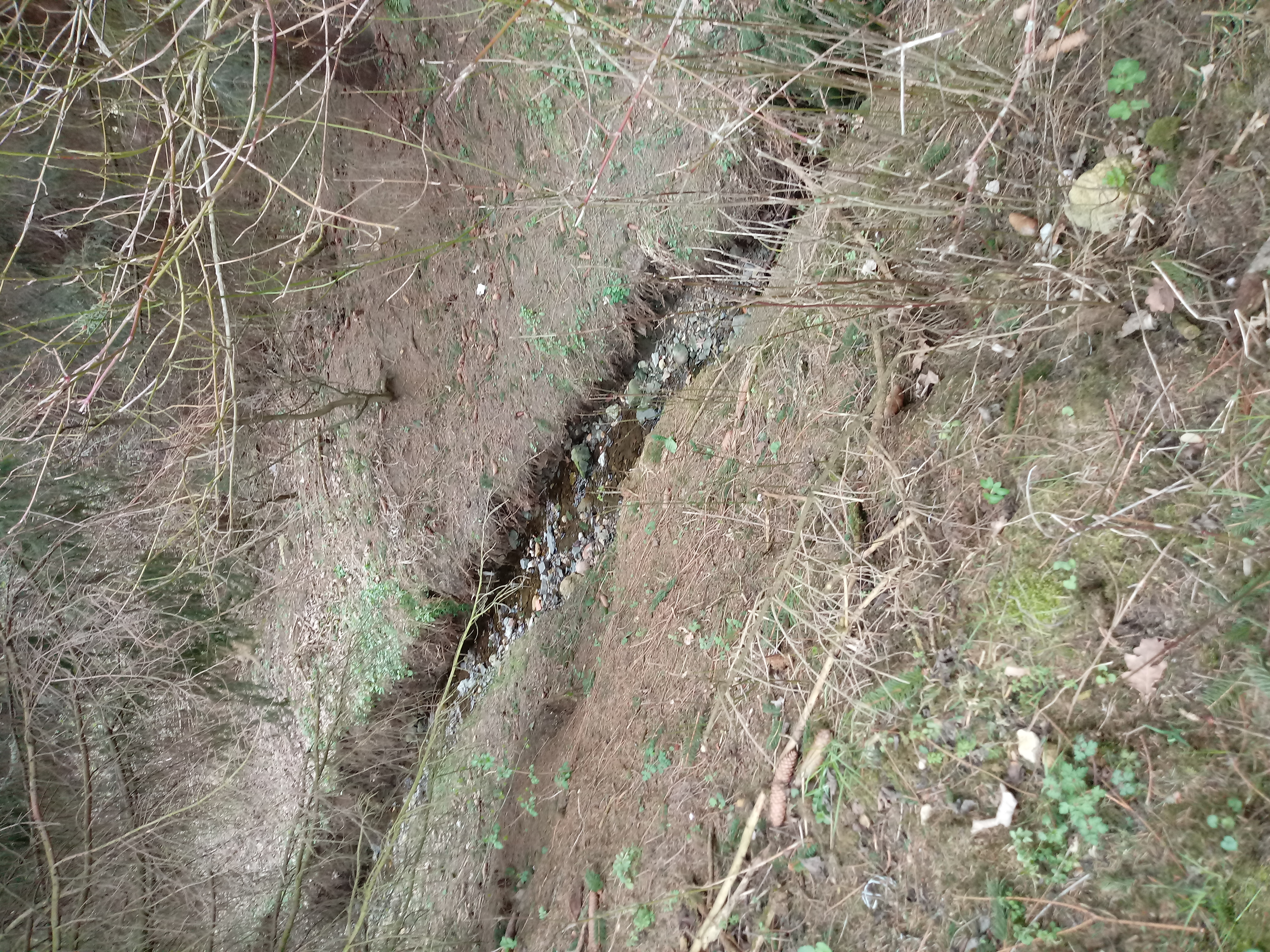
Deutsch: Dieser Fluss zwischen Harlingerode und Göttingerode (Bad Harzburg, Niedersachsen) steht auch wie der restliche Langenberg unter Naturschutz. Der Bund für Natur - und Umwelt führt regelmäßig Müllsammelaktionen durch. Auch ich habe schon öfter Plastik, z.B. aus diesem Fluss aber auch an anderen Stellen des Langenbergs gesammelt.
Der Fluss ist teilweise von einem kleinen Wald umrandet. Ein wunderschöner Ort.
English: This river between Harlingerode and Göttingerode (Bad Harzburg, Lower Saxony) is, like the rest of Langenberg, a protected area. The Federation for Nature and Environment regularly conducts waste collection campaigns. I have plastic too, e.g. collected from this river but also in other parts of the Langenberg.
The river is partially surrounded by a small forest. A beautiful place.
Español: Este río entre Harlingerode y Göttingerode (Bad Harzburg, Baja Sajonia) es, como el resto de Langenberg, un área protegida. La Federación para la Naturaleza y el Medio Ambiente realiza regularmente campañas de recolección de residuos. También tengo plástico, p. recogido de este río pero también en otras partes del Langenberg.
El río está parcialmente rodeado por un pequeño bosque. Un lugar maravilloso. |
| Date | |
| Source | Own work |
| Author | AlvaSaphira1986 |
| Camera location | | View this and other nearby images on: OpenStreetMap |
|---|
Licensing
[edit]
I, the copyright holder of this work, hereby publish it under the following license:
This file is licensed under the Creative Commons Attribution-Share Alike 4.0 International license.
- You are free:
- to share – to copy, distribute and transmit the work
- to remix – to adapt the work
- Under the following conditions:
- attribution – You must give appropriate credit, provide a link to the license, and indicate if changes were made. You may do so in any reasonable manner, but not in any way that suggests the licensor endorses you or your use.
- share alike – If you remix, transform, or build upon the material, you must distribute your contributions under the same or compatible license as the original.
This image was uploaded as part of Wiki Loves Earth 2020.
|
 |
File history
Click on a date/time to view the file as it appeared at that time.
| Date/Time | Thumbnail | Dimensions | User | Comment | |
|---|---|---|---|---|---|
| current | 16:12, 2 May 2020 | | 3,120 × 4,160 (6.84 MB) | AlvaSaphira1986 (talk | contribs) | Uploaded own work with UploadWizard |
You cannot overwrite this file.
File usage on Commons
There are no pages that use this file.