File:Lange diercke sachsen afrika ehemalige schutzgebiete kamerun.jpg
Jump to navigation
Jump to search

Size of this preview: 774 × 599 pixels. Other resolutions: 310 × 240 pixels | 620 × 480 pixels | 992 × 768 pixels | 1,064 × 824 pixels.
Original file (1,064 × 824 pixels, file size: 518 KB, MIME type: image/jpeg)
Captions
Captions
Add a one-line explanation of what this file represents
| Lange-Diercke – Sächsischer Schulatlas | ||||
|---|---|---|---|---|
| Author |
Anonymous |
 | ||
| Title |
Lange-Diercke – Sächsischer Schulatlas |
|||
| Subtitle | Ausgabe für Dresden | |||
| Publisher |
Georg Westermann (Braunschweig) Carl Adlers Buchhandlung (Dresden) |
|||
| Description |
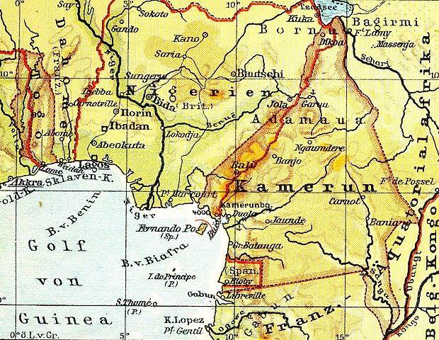
Deutsch: Afrika, Ehemalige deutsche Schutzgebiete: Kamerun und Togo
English: This is a part of an old atlas. It does not necessarily represent the current situation. |
|||
| Publication date | circa 1930 | |||
| Place of publication | Brunswick, Dresden | |||
| Permission (Reusing this file) |
|
|||
File history
Click on a date/time to view the file as it appeared at that time.
| Date/Time | Thumbnail | Dimensions | User | Comment | |
|---|---|---|---|---|---|
| current | 10:26, 22 January 2011 | | 1,064 × 824 (518 KB) | Bananenfalter (talk | contribs) | {{Lange-Diercke_Sachsen |Description={{de|Afrika, Ehemalige deutsche Schutzgebiete: Kamerun und Togo}} |Date=2011-01-20 |Author=Bananenfalter }} {{subst:unc}} |
You cannot overwrite this file.
File usage on Commons
The following page uses this file:
File usage on other wikis
The following other wikis use this file:
- Usage on cy.wikipedia.org
- Usage on de.wikipedia.org
- Usage on es.wikipedia.org
- Usage on fr.wikipedia.org
- Usage on gl.wikipedia.org
Metadata
Categories:
- Lange-Diercke Sachsen
- 20th-century maps of Togo
- 20th-century maps of Benin
- 20th-century maps of Nigeria
- 20th-century maps of Cameroon
- 20th-century maps of Equatorial Guinea
- Old maps of Spanish Guinea
- 20th-century maps of São Tomé and Príncipe
- Maps of the history of Togo
- Maps of German Cameroon
- Maps of Togoland
- Equatorial Guinea in the 20th century
- Colonial revisionism of Germany