File:Landappbw 332750 1824 Hochkreuz am Weg, errichtet von Valentin Horn und dessen Ehefrau 1854 Gemarkung Dreispitze Schweinberg.jpg
Jump to navigation
Jump to search

Size of this preview: 450 × 600 pixels. Other resolutions: 180 × 240 pixels | 360 × 480 pixels | 576 × 768 pixels | 768 × 1,024 pixels | 1,536 × 2,048 pixels | 3,000 × 4,000 pixels.
Original file (3,000 × 4,000 pixels, file size: 1.54 MB, MIME type: image/jpeg)
Captions
Captions
Add a one-line explanation of what this file represents
Summary
[edit]
| Description |
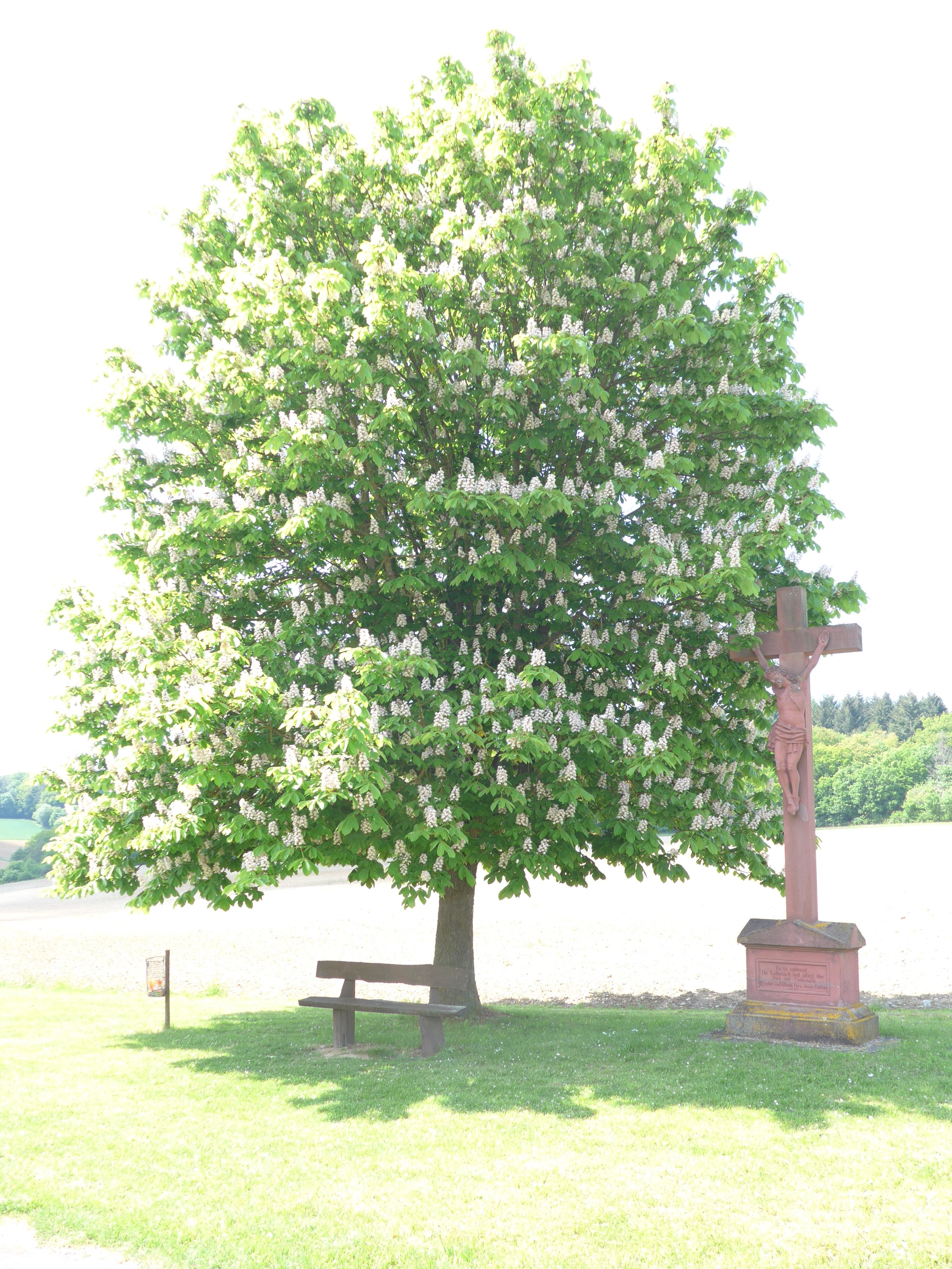
Deutsch: Das Kreuz stand ursprünglich auf der anderen Seite der Bundesstraße 27. An Karfreitag 1945, als sich die Deutsche Wehrmacht vor den anrückenden Amerikanern zurückzog, wurde der Bildstock umgefahren und später an der heutigen Stelle wieder errichtet. |
| Date | 7 February 2021, 20:53:30 (original upload date) |
| Source | overview - direct - dataset |
| Author | Torsten Englert |
| Permission (Reusing this file) |
Creative Commons Zero (CC0) |
| ID | 332750 |
| Category | 1871 |
| Object location | | View this and other nearby images on: OpenStreetMap |
|---|
This media file was collected by Landauf, LandApp under the ID 332750. This tag does not indicate the copyright status of the attached work. A normal copyright tag is still required. See Commons:Licensing. |
Licensing
[edit]
| This file is made available under the Creative Commons CC0 1.0 Universal Public Domain Dedication. | |
| The person who associated a work with this deed has dedicated the work to the public domain by waiving all of their rights to the work worldwide under copyright law, including all related and neighboring rights, to the extent allowed by law. You can copy, modify, distribute and perform the work, even for commercial purposes, all without asking permission.
|
File history
Click on a date/time to view the file as it appeared at that time.
| Date/Time | Thumbnail | Dimensions | User | Comment | |
|---|---|---|---|---|---|
| current | 09:04, 3 May 2023 | | 3,000 × 4,000 (1.54 MB) | LaserlichtBot (talk | contribs) | =={{int:filedesc}}== {{Information |description={{de|1=Das Kreuz stand ursprünglich auf der anderen Seite der Bundesstraße 27. An Karfreitag 1945, als sich die Deutsche Wehrmacht vor den anrückenden Amerikanern zurückzog, wurde der Bildstock umgefahren und später an der heutigen Stelle wieder errichtet.}} |date=2021-02-07 20:53:30 |source=[https://www.spotteron.com/landappbw/spots/332750 overview] - [https://files.spotteron.com/images/spots/000022/2021/02/x7l219mvfo5tspuxsuwk20ycnpbyl4m1.jpg... |
You cannot overwrite this file.
File usage on Commons
The following page uses this file: