File:Lake Senba Mito Ibaraki map.png
Jump to navigation
Jump to search
Size of this preview: 800 × 483 pixels. Other resolutions: 320 × 193 pixels | 640 × 386 pixels | 963 × 581 pixels.
Original file (963 × 581 pixels, file size: 241 KB, MIME type: image/png)
Captions
Captions
Lake Senba,Mito Ibaraki Map
Summary
[edit]
| Description |
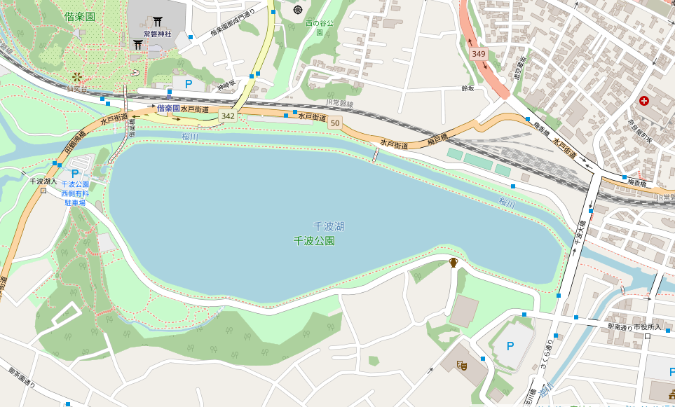
日本語: オープンストリートマップから作成した茨城県水戸市の千波湖周辺図
English: Lake Senba,Mito Ibaraki Map created from Openstreetmap. |
| Date | |
| Source | Openstreet map(accessdate2019-10-13) |
| Author | OpenStreetMapへの協力者 |
Licensing
[edit]
| Description |
This map was created from OpenStreetMap project data, collected by the community. This map may be incomplete, and may contain errors. Don't rely solely on it for navigation. |
|||
| Date | (see file history) | |||
| Source | openstreetmap.org | |||
| Creator |
OpenStreetMap contributors |
|||
| Permission (Reusing this file) |
OpenStreetMap data is available under the Open Database License (details). Map tiles are licensed under the Creative Commons Attribution-ShareAlike 2.0 license (CC-BY-SA 2.0).
This file is licensed under the Creative Commons Attribution-Share Alike 2.0 Generic license.
|
|||
| Georeferencing | If inappropriate please set warp_status = skip to hide. |
File history
Click on a date/time to view the file as it appeared at that time.
| Date/Time | Thumbnail | Dimensions | User | Comment | |
|---|---|---|---|---|---|
| current | 07:16, 13 October 2019 | | 963 × 581 (241 KB) | 七巫こ (talk | contribs) | User created page with UploadWizard |
You cannot overwrite this file.
File usage on Commons
There are no pages that use this file.