File:Lakagigar panorama.jpg
Jump to navigation
Jump to search
Size of this preview: 800 × 258 pixels. Other resolutions: 320 × 103 pixels | 640 × 206 pixels | 1,024 × 330 pixels | 1,280 × 412 pixels | 2,560 × 824 pixels | 7,066 × 2,275 pixels.
Original file (7,066 × 2,275 pixels, file size: 3.88 MB, MIME type: image/jpeg)
Captions
Captions
Add a one-line explanation of what this file represents
| Description |
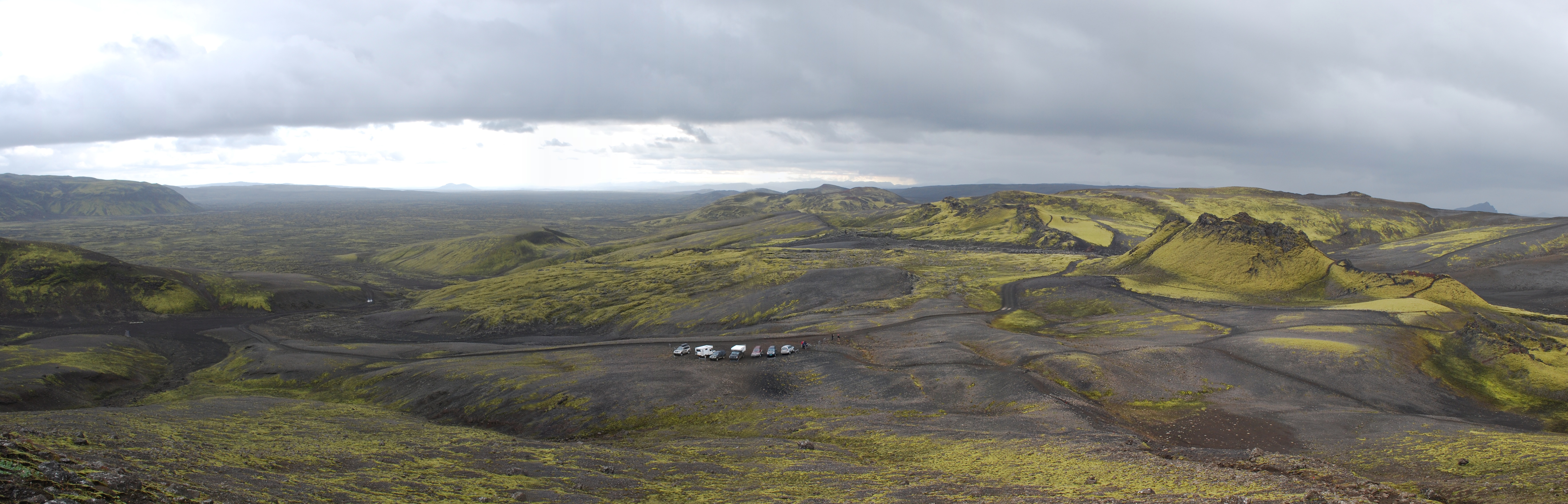
Čeština: Pohled na lávové pole vzniklé erupcí sopky Laki s centrální prasklinou odkud proudila láva na povrch, Island English: Sight to the lava flows near Laki with central fissure, Iceland |
| Date | |
| Source | Own work |
| Author | Chmee2/Valtameri |
| Permission (Reusing this file) |
This file is licensed under the Creative Commons Attribution-Share Alike 3.0 Unported license.
|
| Camera location | | View this and other nearby images on: OpenStreetMap |
|---|
File history
Click on a date/time to view the file as it appeared at that time.
| Date/Time | Thumbnail | Dimensions | User | Comment | |
|---|---|---|---|---|---|
| current | 12:45, 18 October 2009 | 7,066 × 2,275 (3.88 MB) | Chmee2 (talk | contribs) | {{Information |Description={{cs|Pohled na lávové pole vzniklé erupcí sopky Lako s centrální prasklinou odkud proudila láva na povrch, Island}} {{en|Sight to the lava flows near Laki with central fissure, Iceland}} |Source={{own}} |Date=2009-08-03 | |
You cannot overwrite this file.
File usage on Commons
The following page uses this file:
File usage on other wikis
The following other wikis use this file:
- Usage on de.wikipedia.org
- Usage on fr.wikipedia.org
- Usage on mk.wikipedia.org