File:Laguna del Pelado.jpg
Jump to navigation
Jump to search

Size of this preview: 800 × 533 pixels. Other resolutions: 320 × 213 pixels | 640 × 427 pixels | 1,024 × 683 pixels | 1,280 × 853 pixels | 2,370 × 1,580 pixels.
Original file (2,370 × 1,580 pixels, file size: 636 KB, MIME type: image/jpeg)
Captions
Captions
Add a one-line explanation of what this file represents
Summary
[edit]
| Description |
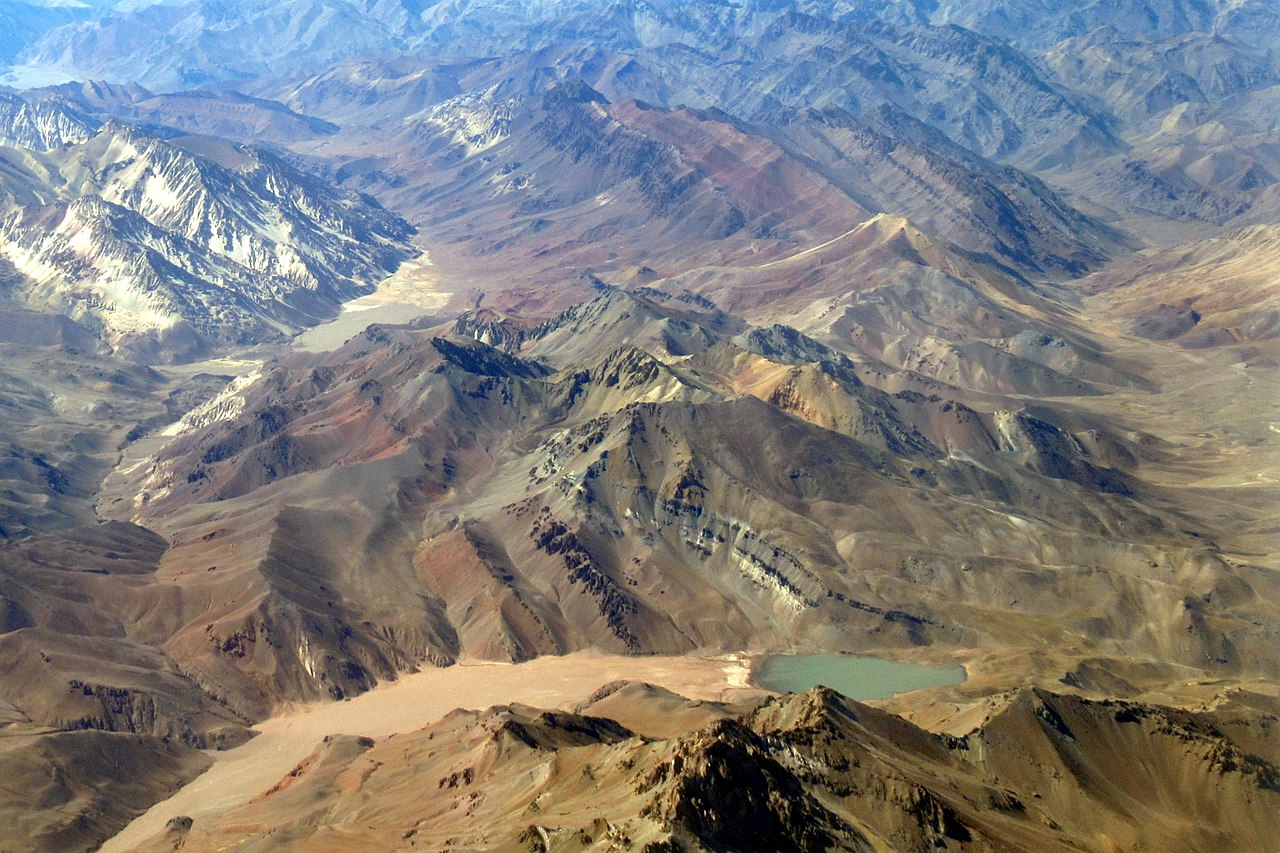
Español: La Laguna del Pelado al pie del Cerro 1er. Tte. Juárez A-XII-86 |
| Date | 3 December 2021, 09:52:18 (according to Exif data) |
| Source | Own work |
| Author | WeHaKa |
| Permission (Reusing this file) |
This file is licensed under the Creative Commons Attribution-Share Alike 4.0 International license. Attribution: WeHaKa
|
| Camera location | | View this and other nearby images on: OpenStreetMap |
|---|
| Object location | | View this and other nearby images on: OpenStreetMap |
|---|
| Object location | | View this and other nearby images on: OpenStreetMap |
|---|
| Object location | | View this and other nearby images on: OpenStreetMap |
|---|
| Object location | | View this and other nearby images on: OpenStreetMap |
|---|
| Annotations | This image is annotated: View the annotations at Commons |
File history
Click on a date/time to view the file as it appeared at that time.
| Date/Time | Thumbnail | Dimensions | User | Comment | |
|---|---|---|---|---|---|
| current | 01:26, 27 May 2022 | | 2,370 × 1,580 (636 KB) | WeHaKa (talk | contribs) | {{Information |description = Laguna del Pelado |date = {{According to EXIF data|2021-12-03 09:52:18}} |source = {{own}} |author = WeHaKa |permission = {{cc-by-sa-4.0|WeHaKa}} |other versions = }} {{camera location|31|53|30|S|70|19|15|W|prec=3000|heading:SE_region:CL-CO}} {{object location|wikidata=Q21837246 }} <!-- Cordón del Medio --> {{object location|wikidata=Q22539014 }} <!-- Laguna del Pelado --> {{object location|wikidata=Q218373... |
You cannot overwrite this file.
File usage on Commons
The following 3 pages use this file:
File usage on other wikis
The following other wikis use this file:
- Usage on arz.wikipedia.org
- Usage on ceb.wikipedia.org
- Usage on es.wikipedia.org
- Usage on sv.wikipedia.org
- Usage on www.wikidata.org