File:Lago Puelo - panoramio.jpg
Jump to navigation
Jump to search

Size of this preview: 800 × 324 pixels. Other resolutions: 320 × 130 pixels | 640 × 259 pixels | 1,024 × 415 pixels | 1,280 × 518 pixels | 5,020 × 2,033 pixels.
Original file (5,020 × 2,033 pixels, file size: 6.74 MB, MIME type: image/jpeg)
Captions
Captions
Add a one-line explanation of what this file represents
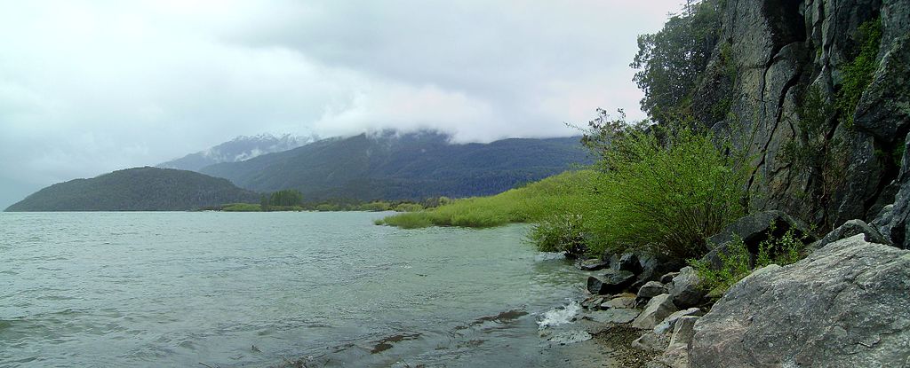
| Description | Lago Puelo | ||
| Date | 23 September 2010 (original upload date) | ||
| Source | https://web.archive.org/web/20161018020339/http://www.panoramio.com/photo/41182463 | ||
| Author | littletroll | ||
| Permission (Reusing this file) |
This file is licensed under the Creative Commons Attribution-Share Alike 3.0 Unported license. Attribution: littletroll
|
||
| Tags (from Panoramio photo page) | Cushamen Department, Argentina, Argentine, Chubut, Lago, Lago Puelo, Lake, Trail, озеро, тропа, 湖 |
| Camera location | | View this and other nearby images on: OpenStreetMap |
|---|
File history
Click on a date/time to view the file as it appeared at that time.
| Date/Time | Thumbnail | Dimensions | User | Comment | |
|---|---|---|---|---|---|
| current | 21:04, 10 November 2016 | 5,020 × 2,033 (6.74 MB) | Panoramio upload bot (talk | contribs) | {{Information |description=Lago Puelo |date={{Original upload date|2010-09-23}} |source=http://www.panoramio.com/photo/41182463 |author=[http://www.panoramio.com/user/4432108?with_photo_id=41182463 littletroll] |permission={{cc-by-sa-3.0|littletroll}}... |
You cannot overwrite this file.
File usage on Commons
There are no pages that use this file.